American weather model upping its game
The American weather model has gotten a facelift, and it is set to officially debut next month.
News 12 Staff
•
Feb 14, 2019, 6:52 PM
•
Updated 1,898 days ago
Share:
A new challenger is entering the ring.
If you follow weather enthusiasts on social media, or perhaps you yourself are one, you're probably aware that there has been a long running debate about which is the superior weather model: the ECMWF "Euro" model, or the GFS "American" model.
The event that largely brought this discussion to the forefront of weather talk was Superstorm Sandy, in which the Euro predicted the storm's path quicker and more accurately than its counterpart from across the pond. This led to a heightened sense of urgency for the U.S. to beef up its model capabilities.
Legislators have since increased funding to NOAA, which allowed them to develop a new model: the FV3-GFS. While it has actually been available for about the last year, it is now scheduled to become fully operational next month.
So what will this new weather model bring to the table?
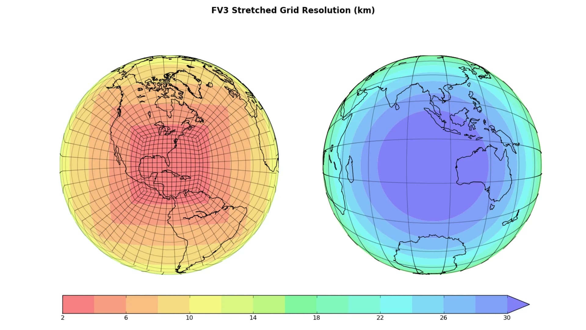
To start, it will have an increased resolution. Both the Euro and old GFS are global models, meaning they go out farther in time and cover a larger area, yet have lower resolutions than other models. This often means that weather events will look smoother and more blob-like. The FV3-GFS will produce more realistic products, almost like a camera with more megapixels. It will also improve how the model handles the strength and track of developing tropical storms.
To say that the old GFS is or was utterly poor would be untrue, as there have been many storms where it has outperformed the Euro - every model has both pros and cons. But the Euro has done better on a more consistent basis. Experts say that even with this shiny new version, the GFS is still not the best model out there, but that it has certainly narrowed the gap with these improvements.