Gowanus has a rich industrial past, but as the neighborhood has changed, some of the buildings have as well.
There is a new map highlighting some of the landmarks, that neighbors are fighting to keep around forever.
For a few years, Ute Zimmerman, of Gowanus Souvenir Shop, noticed there was a need for a landmark map.
"We get actual tourists coming to the neighborhood and they always ask us, ‘do you have a map?’ We would like a map as they walk around in the neighborhood,” says Zimmerman.
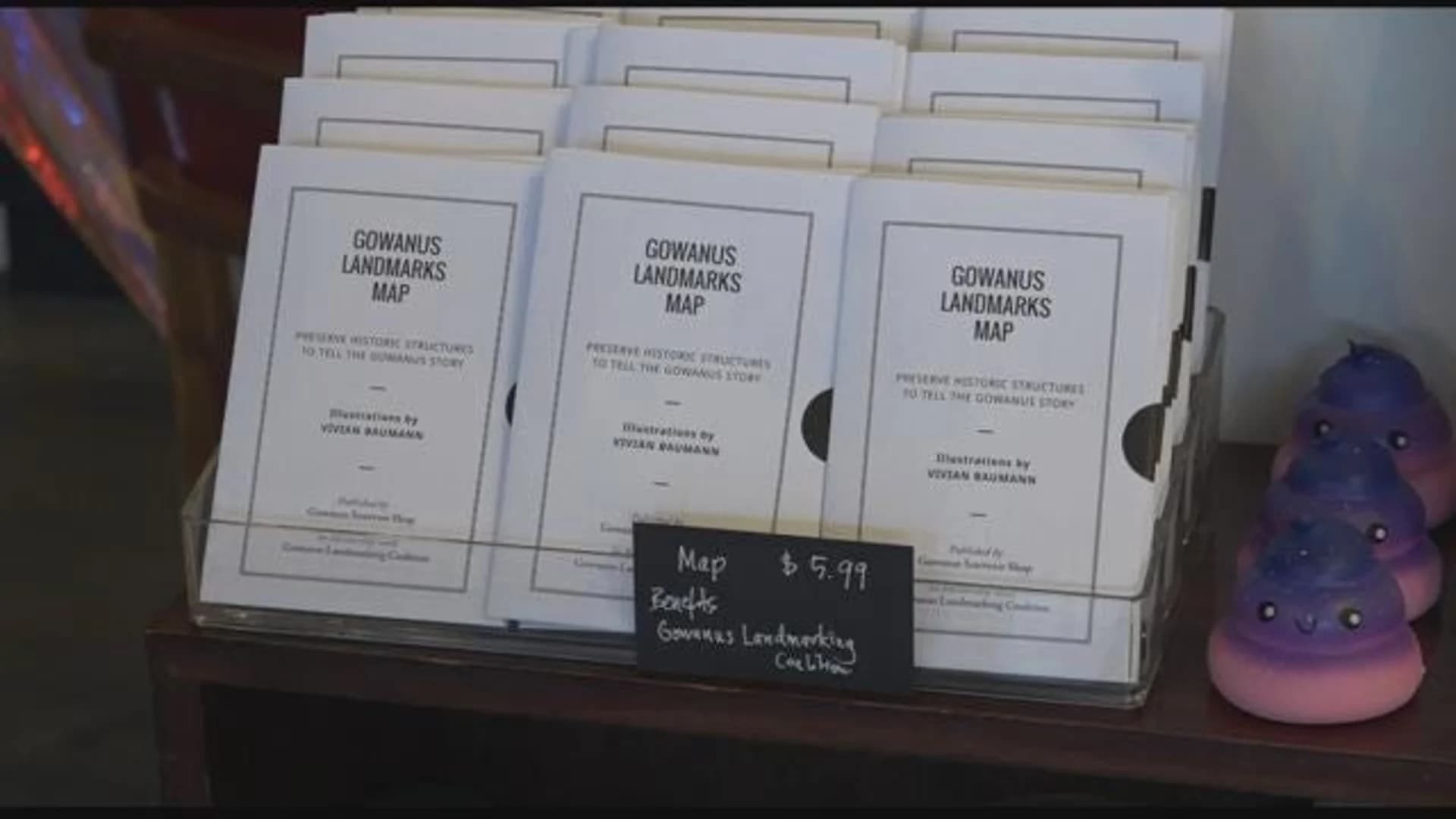
The Gowanus landmarks map was created highlighting 14 locations and includes drawings by a local artist.
"We get actual tourists coming to the neighborhood and they always ask us, ‘do you have a map?’ We would like a map as they walk around in the neighborhood,” says Zimmerman.
The Gowanus landmarks map was created highlighting 14 locations and includes drawings by a local artist.
Each tell the story of the neighborhood's industrial past, such as the Union Street Bridge control tower.
"We chose this because one, it has a really neat mint green glazed brick which is very mid-century and also its a physical evidence that this was a navigable waterway that needed people to oversee all the transit that happened here,” says Kelly Carroll of the Advocacy and Community Outreach for Historic Districts Council.
The map specifies which buildings in Gowanus have been landmarked, and which ones are currently at risk.
Gowanus Station is threatened right now with eminent domain. That building is very important because it's the only building in the neighborhood that has the name Gowanus on its terracotta facade.
All the proceeds of the landmark map go toward the Gowanus Landmarking Coalition to help it continue to landmark buildings before the neighborhood is rezoned.
More from News 12
2:07

Baby killed by stray bullet in Bushwick shooting; manhunt underway
1:48

Storms, rain, and a major cool down for Brooklyn
0:25

Man critically injured in Crown Heights stabbing; person of interest in custody
0:43

President Trump says US forces will 'finish the job' soon in first prime-time speech since start of Iran war
1:41

Transport back in time with new '90s-themed café in Park Slope
2:00
