EXTREME HEAT WARNING: Dangerous heat with highs into the 100s, poor air quality, storm chances on Long Island
Near record heat for today and Saturday with evening thunderstorms. The weather pattern start to change Sunday into Monday.
More Stories


ALERTS:
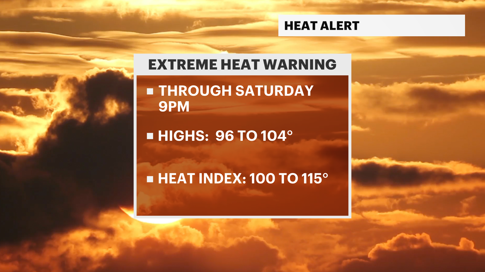
1) EXTREME HEAT WARNING is in effect from now through Saturday at 9 p.m.
2) AIR QUALITY ALERT is in effect again Today 11 a.m to 11 p.m. and could be extended through Saturday.
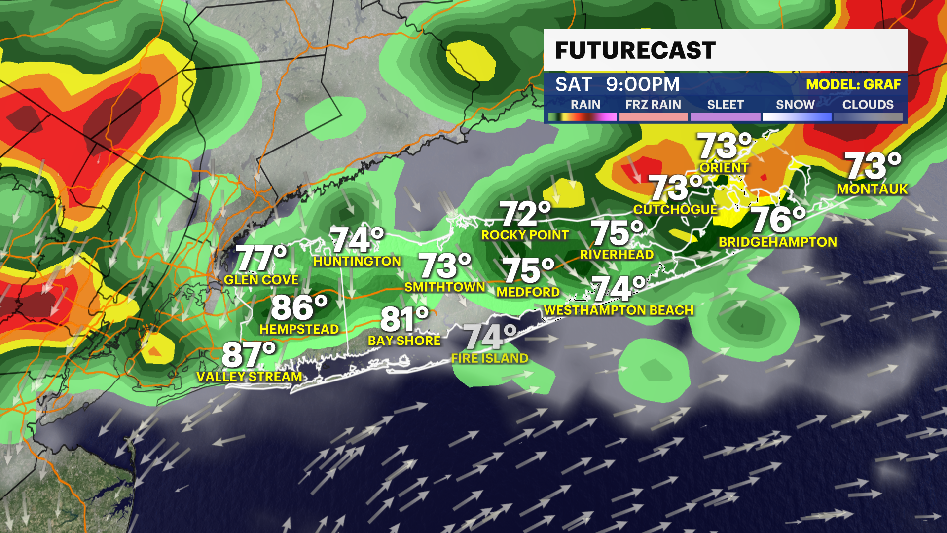
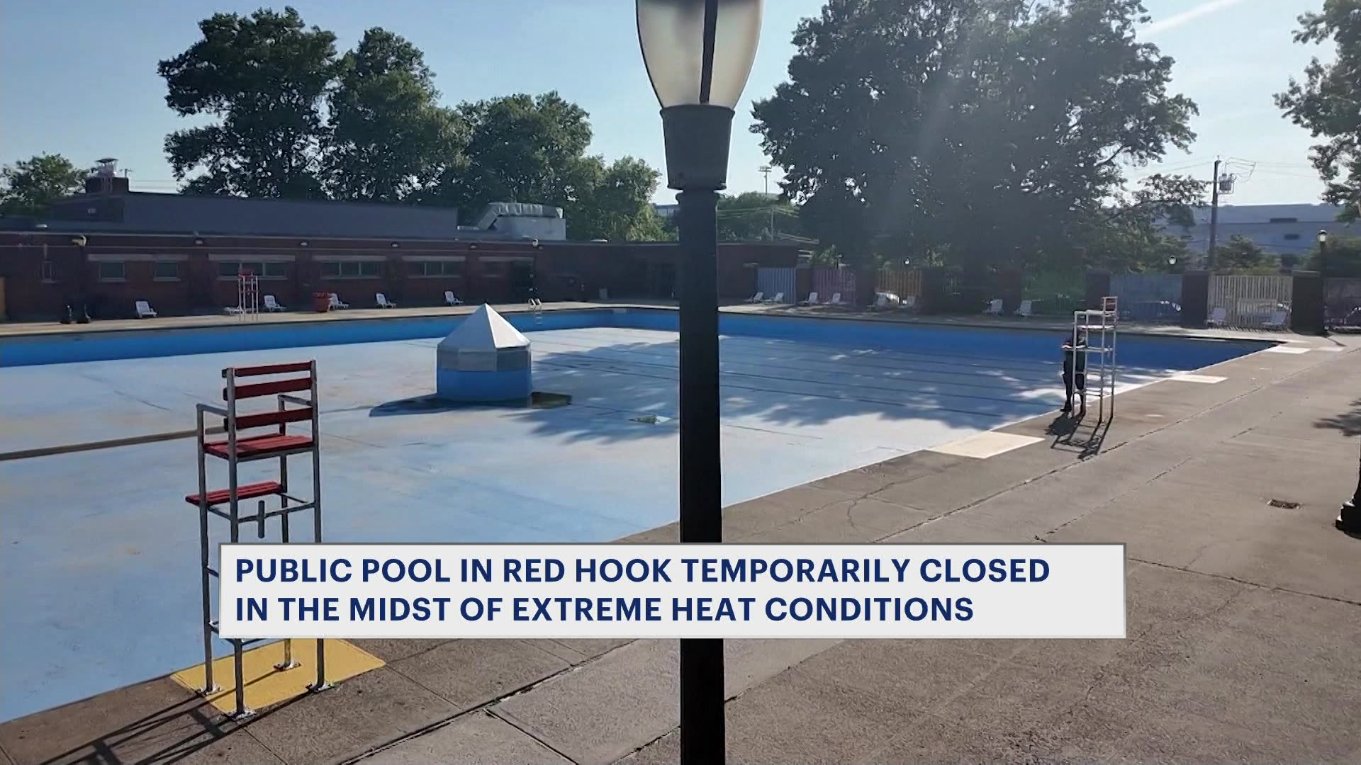
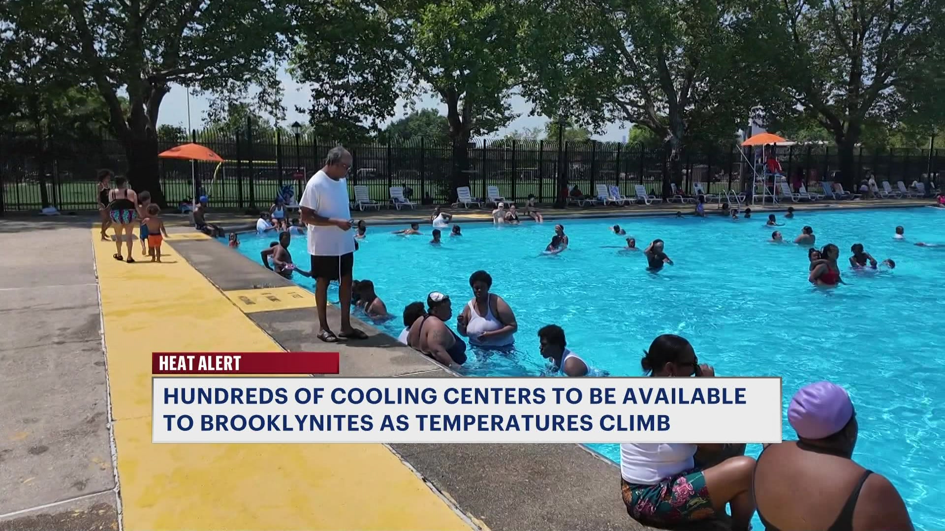
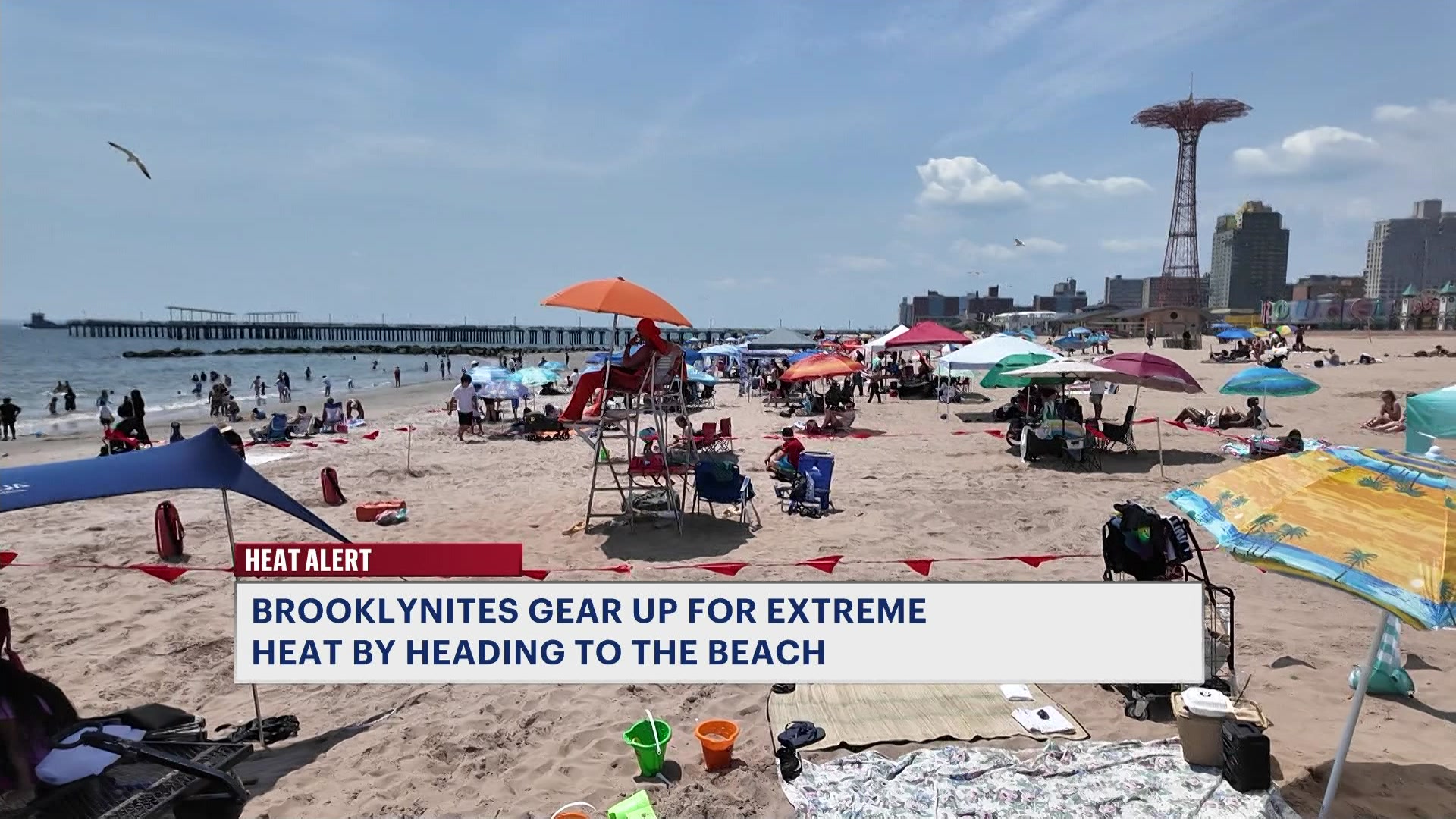
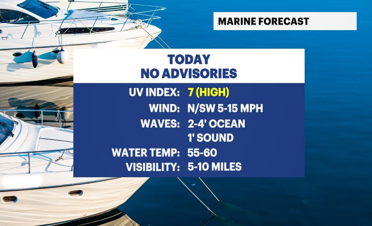
Dangerous heat continues across Long Island today. An Extreme Heat Warning remains in effect through Saturday at 9 p.m., and an Air Quality Alert is also in effect today for elevated ozone levels. If you're heading out the door, take it easy in the heat, stay hydrated, and don't forget the sunscreen. High temperatures will climb into the 90s to around 100 degrees, but it'll feel more like 100 to 115 degrees thanks to the dangerous humidity. If possible, limit strenuous outdoor activities during the hottest part of the day and check on those most vulnerable to the heat.
Tonight will be warm and muggy with partly cloudy skies. A few isolated showers and thunderstorms are expected to develop overnight, and any storm could produce brief heavy downpours and gusty winds. Overnight lows will only fall into the 70s, offering very little relief from the oppressive heat and humidity.
For the Fourth of July, expect a mix of sun and clouds with another hot and humid day. High temperatures will once again reach the 90s, with heat index values soaring well into the 100s. During the late afternoon and evening, scattered thunderstorms are expected to develop. If you have outdoor holiday plans or are heading to a fireworks show, keep a close eye on the forecast, as one or two storms could interrupt celebrations during the evening hours.
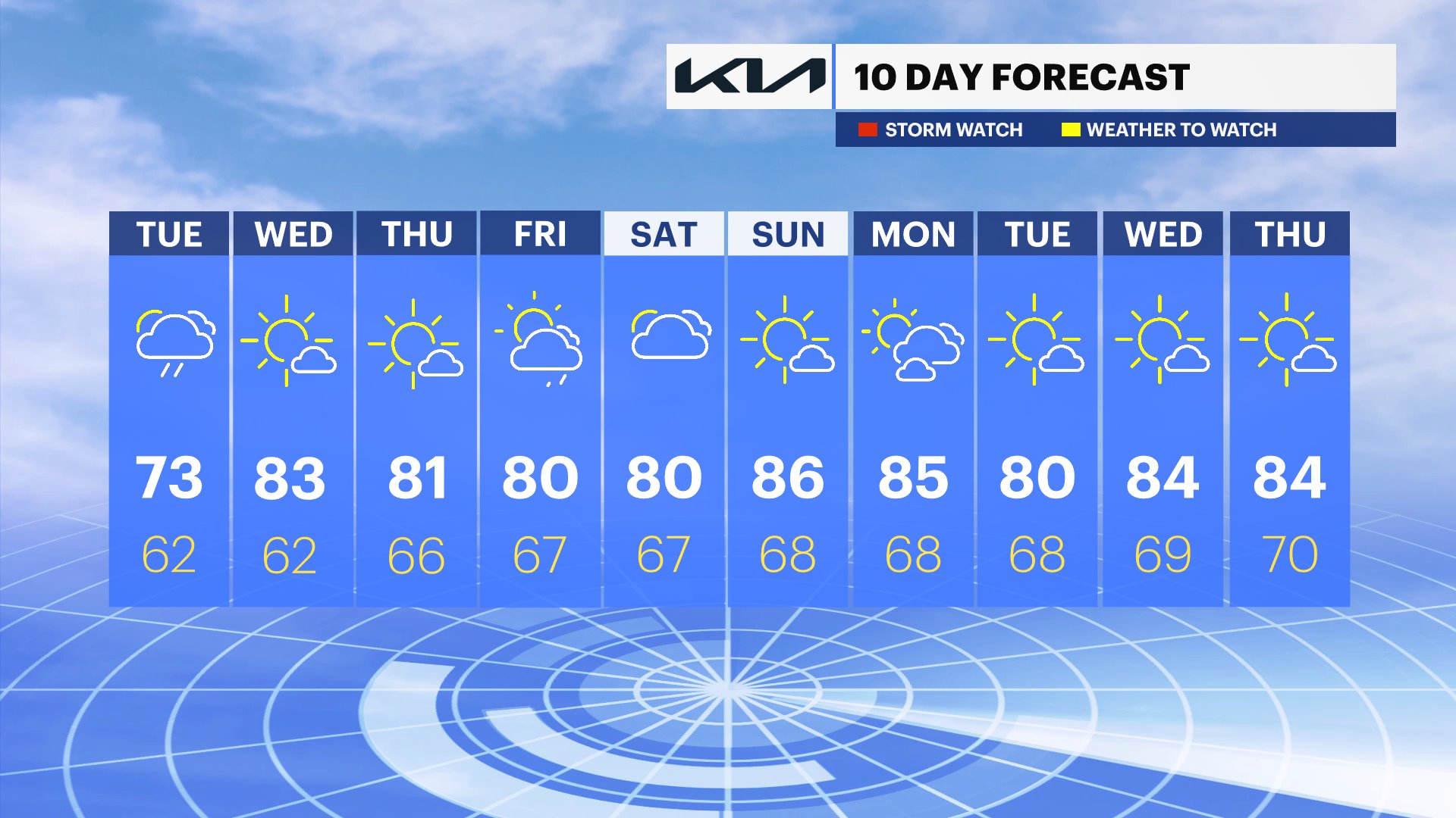
Looking ahead, Sunday will feature partly sunny skies with hot and humid conditions continuing. Expect a few pop-up showers and thunderstorms during the afternoon, with highs ranging from the mid-80s to around 90 degrees across most of Long Island. On Monday, skies will turn mostly cloudy with scattered showers and the chance of a thunderstorm. It will remain warm and muggy, with afternoon temperatures staying in the 80s.
100 DEGREE DAYS ON LONG ISLAND ARE RARE
Reaching an official air temperature at Islip MacArthur Airport here on Long Island of 100 degrees or hotter is extremely rare. It has actually only happened eight times since records have been kept at the airport since 1963 - one of those times was in June of last year. The forecast high on Friday is 100, which could be the ninth time in recorded history. This is not typical summer heat for Long Island. Our normal average highs this time of year are in the lower 80s.
Here are the eight times Islip has reached 100 degrees:
104°F – July 3, 1966 (Islip's record high)
102°F – July 5, 1999
101°F – July 6, 2010
101°F – July 21, 1991
101°F – June 24, 2025 (hottest June day on record)
100°F – July 22, 2011
100°F – August 2, 1975
100°F – August 9, 2001
ANY RECORD HEAT FOR LONG ISLAND?
While this week's heat can be dangerous, we are not expecting any official records to be broken at Islip MacArthur Airport at this time, but Saturday could be close!
FRIDAY: Forecast high: 100 | Record high: 104 (1966)
SATURDAY: Forecast high: 98 | Record high: 97 (2010)