STORM WATCH: Beautiful weather in Brooklyn today; powerful storms likely Tuesday
Forecast calls for severe storms again Tuesday with damaging winds and flash flooding risk
More Stories


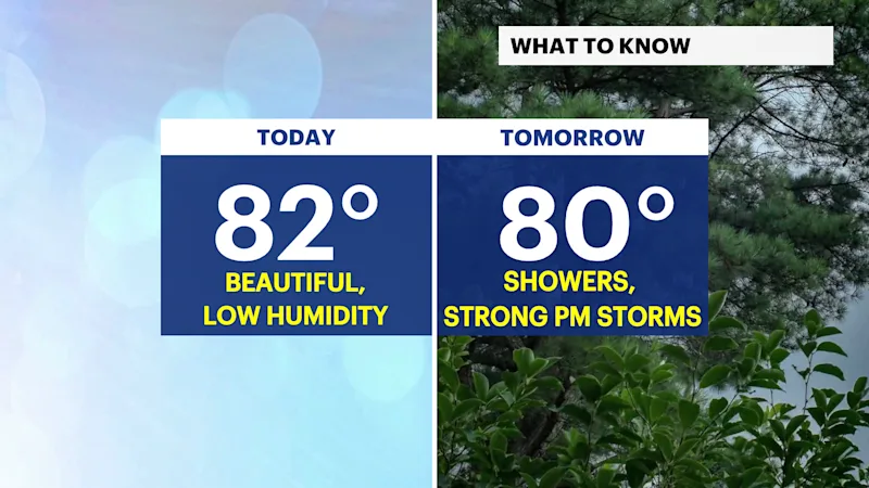
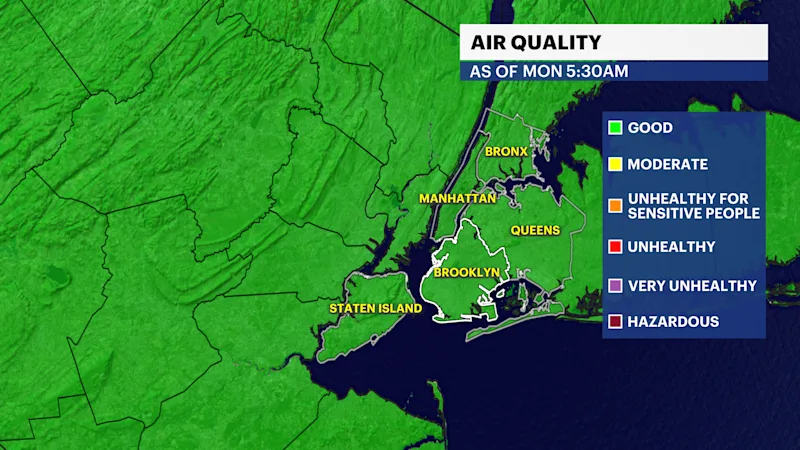
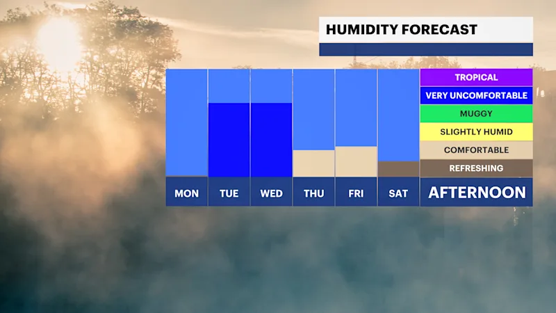
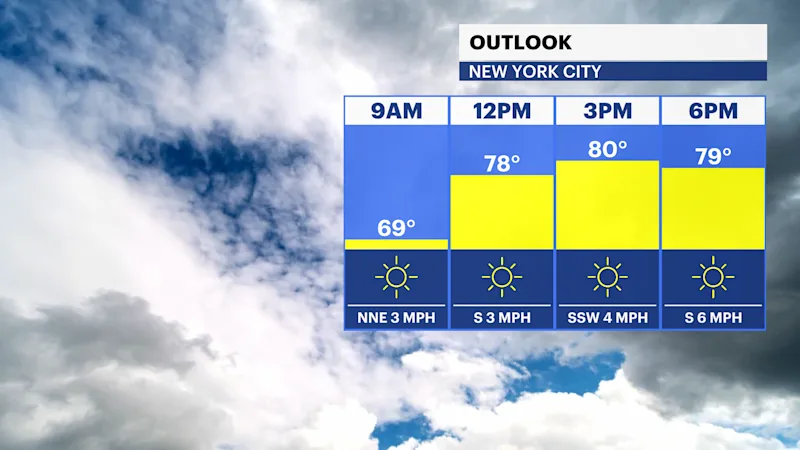
Today's weather will bring much needed relief ! It will be sunny with afternoon high temperatures in the low 80s. It will also feel refreshing as humidity is expected to stay low. Air quality is also good! This is the day to get outside and enjoy it, before weather changes again.
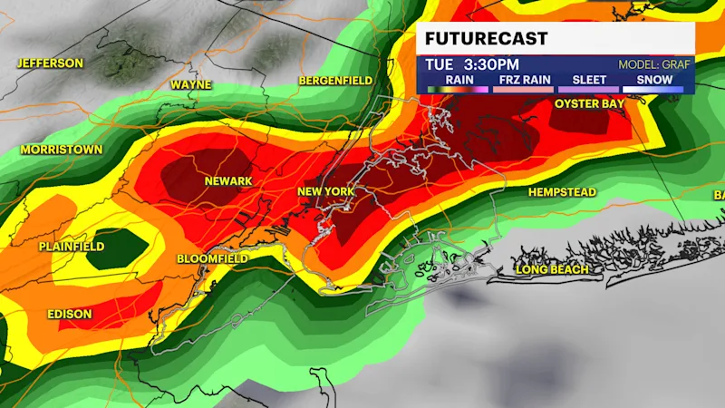
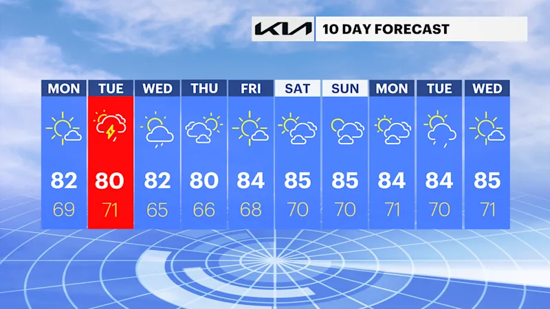
Powerful storms are likely tomorrow. A warm front will lift across the region tomorrow followed by a cold front . This will help trigger strong storms especially in the afternoon on Tuesday. The Storm Prediction Center has us under a Slight Risk Level 1 for severe weather with concerns related to flash flooding, and damaging winds! Rainfall totals could reach exceed 3" in some spots tomorrow. Wind gusts up over 40 mph are possible with the strongest of storms tomorrow. Although uncommon for this region, a tornado can't be ruled out.
Wednesday's weather could feature storms again in the afternoon. Wednesday is expected to be a cloudy day with strong gusty winds around 20 mph at times!
There will be significant improvements in weather on Thursday as temperatures will be once again in the low 80s! It will be a sunny, dry day.
TODAY: Beautiful day with low humidity. Highs in the low 80s.
TOMORROW: Cloudy with afternoon strong storms likely. Gusty winds at times. Highs in the low 80s and very humid.
WEDNESDAY: Cloudy with a few storms possible. Highs around the mid 80s and very humid.
THURSDAY: Sun is back! Highs in the low 80s.