




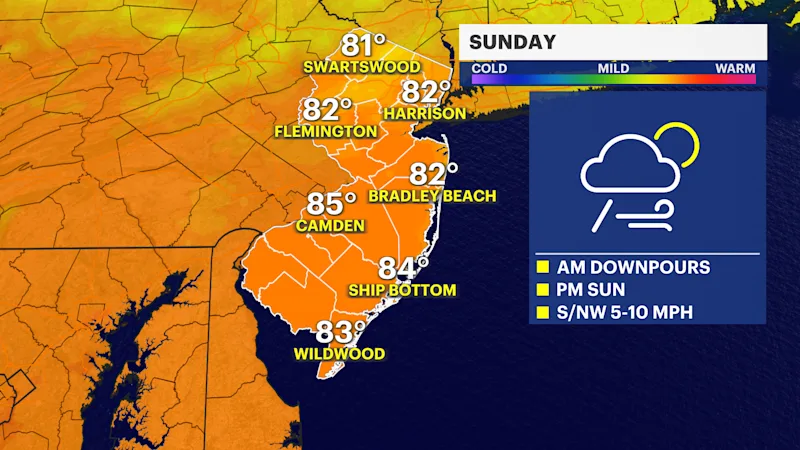
UPDATE: Severe thunderstorm watch in effect until 10 p.m. for most of the state. -- A tornado watch is in effect for parts of the state until 10 p.m.

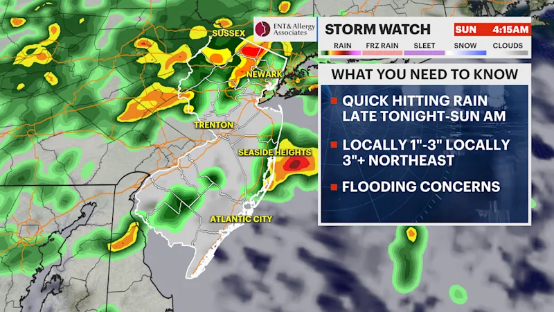
Nasty thunderstorms are expected to rip through the state this evening, bringing flash flooding, damaging gusts and a possible stray tornado. Most of the weather rolls through now through 9 p.m., with the worst conditions from 5 p.m. to 8 p.m. The strongest storms are likely in Central and South Jersey, which includes Mercer, Monmouth, and Ocean counties.

Primary weather concern will be flash flooding. A lot of rain in a short amount of time will allow water to collect quickly. The chance for flooding is exceptionally high for parts of the state.

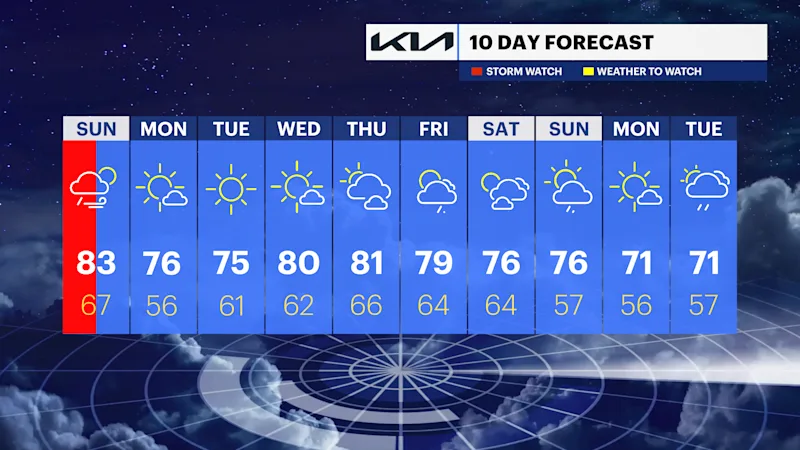
The weather turns quiet tomorrow. The sky will be partly sunny. It will be calm and pleasant, with highs near 80. Rain returns for the weekend. Saturday features showers and storms in the late part of the day that carry overnight into Sunday.