Newark Information
☀️
UV Index Today
--
Loading...
🍃
Air Quality
--
Loading...
🌡️
Average High / Low
-- / --
1991-2020 Normals
EWR Climate
🏆
Record High / Low
-- / --
Loading...
EWR Climate
Loading latest Newark information...
FORECAST:
Clouds will thicken overnight. Scattered showers will develop late.
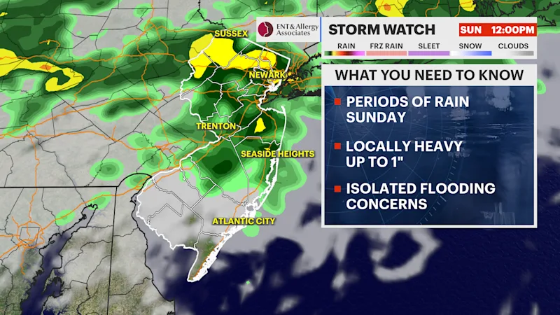
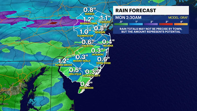
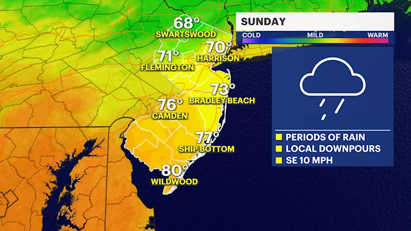
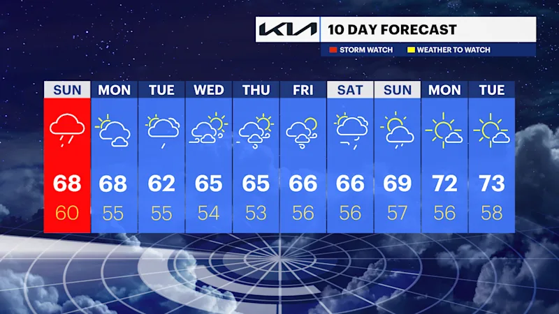
A Sunday spoiler is on the way. Weak low pressure along with an approaching warm front will result in periods of rain. Some of the rain could local be heavy. Isolated flooding is a possibility. Never drive through flooded roadways. Turn around, don't drown.
Monday will feature an improvement, with high pressure over Eastern Canada suppressing the inclement weather to the south. The day will feature a mix of sun and clouds.
The chances of showers increase on Tuesday as a ripple of low-pressure heads east and off the Mid-Atlantic coast. Gusty winds, especially along the coast, are likely from Tuesday through Friday as strong high pressure remains to the North and an offshore storm meanders for a few days.
Conditions look dry, but cool as of Saturday evening's forecast.
Average high temperatures are in the mid-70s.
Readings will only be in the 60s, right on target for the beginning of autumn on Tuesday.
FUTURECAST:
TIDES: