Winter Weather Awareness Week: Heavy snow, snow squalls & different types of winter storms
The most common type of precipitation is snow and when it becomes heavy, it can bring dangerous travel conditions and even impassable roads.
More Stories


Winter storms can bring different types of precipitation and storms.
The most common type of precipitation is snow and when it becomes heavy, it can bring dangerous travel conditions and even impassable roads.
On Day 2 of Winter Weather Awareness Week, the topic is heavy snow, snow squalls and different types of winter storms.
Heavy snow is defined as an average of at least 6 inches of snow within 12 hours or 8 inches or more of snow within 24 hours. Snowfall rates of 1/2 inch per hour or more could stack up quickly during a winter storm.
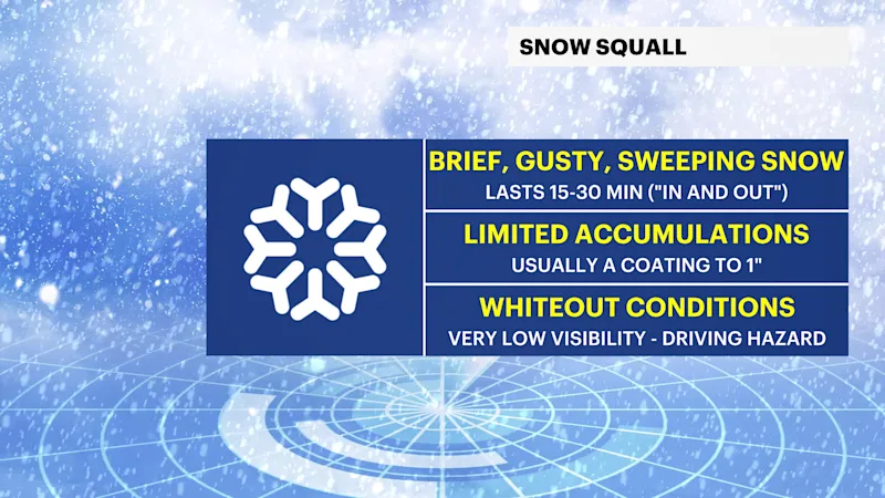
One type of winter storm that is often seen with a strong cold front is a snow squall. A snow squall is a moderate to heavy bursts of snow coupled with gusty winds, rapidly dropping visibility to one-quarter mile or less. Blowing snow can also be a result of a snow squall. Snow squalls can last 30 to 60 minutes in any given location. After the snow squall quickly passes, temperatures tend to drastically drop which could cause a flash freeze. Although, these quick moving snow squalls are rare in our area, when they do occur it can be life threatening, leading to multi-car pileups on highways.
Did you know that coastal storms are also known as nor’easters? It can produce heavy snow, gusty northeast winds, coastal flooding, erosion and rough waves. Nor’easters usually form from October through April along the east coast from the Gulf to the Mid-Atlantic coastline.
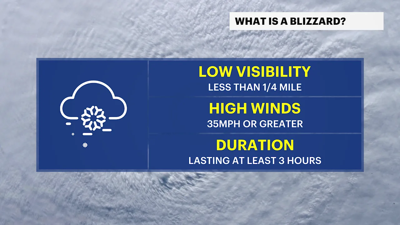
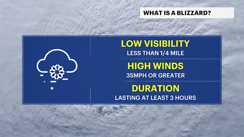
Did you know that blizzards are not defined by heavy snow? It’s categorized by wind gusts and falling or blowing snow. If wind gusts to 35 mph or greater combined with falling or blowing snow and frequently reduced visibility below one-quarter mile for three consecutive hours or longer, it is classified as a blizzard.
This upcoming winter season, the National Weather Service will have the capability to use the verbiage "Particularly Dangerous Situation" (PDS) in Blizzard Warnings. The use of this language will emphasize the severity and threat it poses to the public. It will allow the NWS to alert the public and partners when there is high confidence of an exceptional threat that is above and beyond the typical blizzard.
Stick around for Day 3 of Winter Weather Awareness Week as we break down ice storms.


