Could history repeat itself? A look back at the Boxing Day Blizzard of 2010
This December has been one of the coldest in years, raising similarities to December 2010. Could that also mean a significant snowstorm is soon on the way?
More Stories
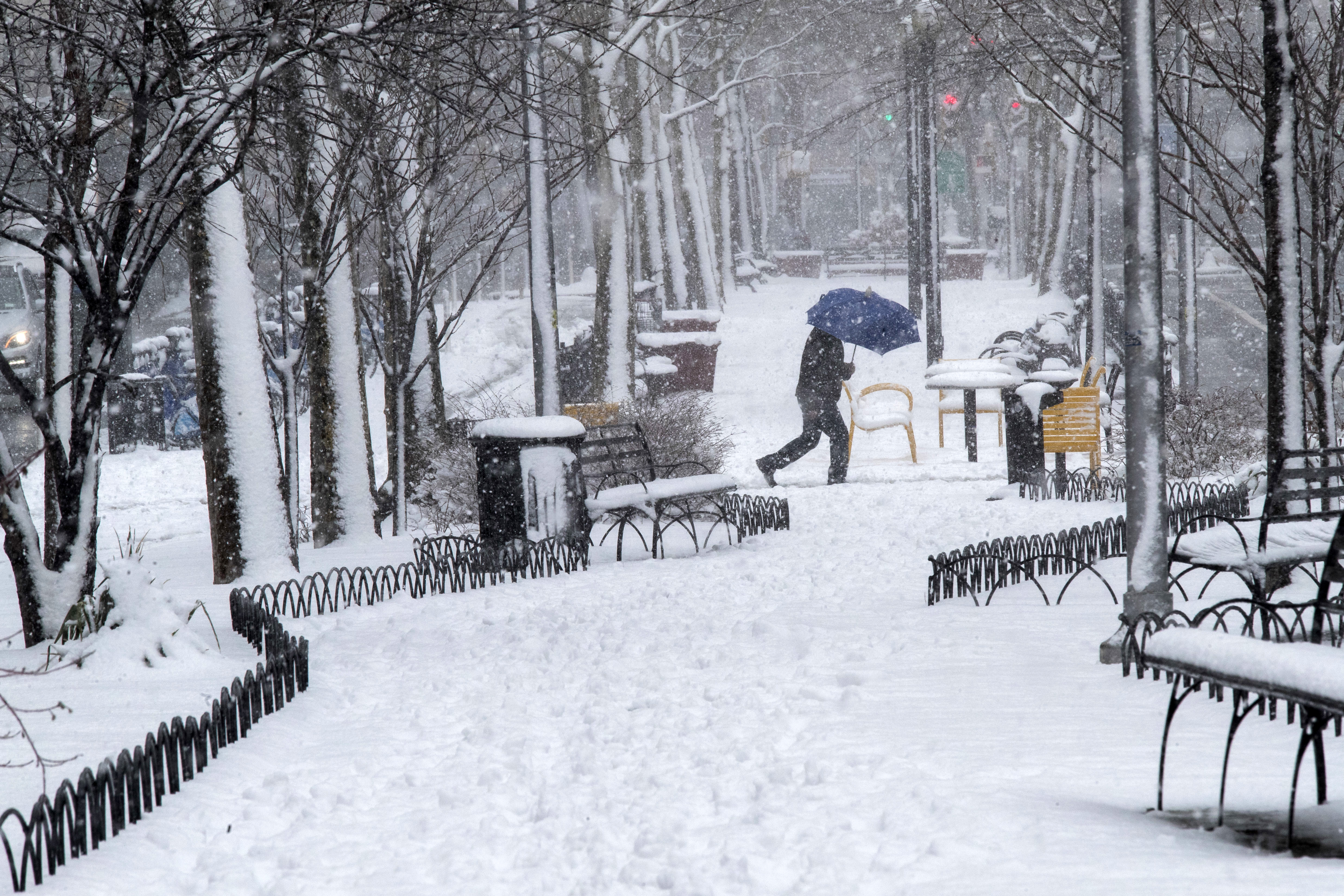
This weekend marks the 14th anniversary of the "Boxing Day Blizzard" of December 2010 that crippled New York City with two feet of snow. This two-day mega snowstorm was one of the biggest on record. How could that storm help predict potential snow in January 2025?
The perfect weather recipe for significant snowfall in late December and early January includes a cold month of December and a La Niña (usually weak). Other ingredients include particular air and ocean patterns. These ingredients together create an atmosphere that is cold and stormy for the northeastern United States.
This part is for weather nerds. Some of the air patterns, known as "teleconnections," are lining up exactly right for snow-lovers right now. The North Atlantic Oscillation (NAO), which is an air pattern in the northern Atlantic Ocean, is turning negative. A negative NAO allows arctic air to move into the northeastern U.S. and slow down any storm in the area to produce more rain or snow. Other teleconnections like the Pacific Decadal Oscillation (PDO), Madden Julian Oscillation (MJO) and Pacific North America teleconnection (PNA) are all also more favorable for a cold and stormy pattern beginning around Jan. 3.
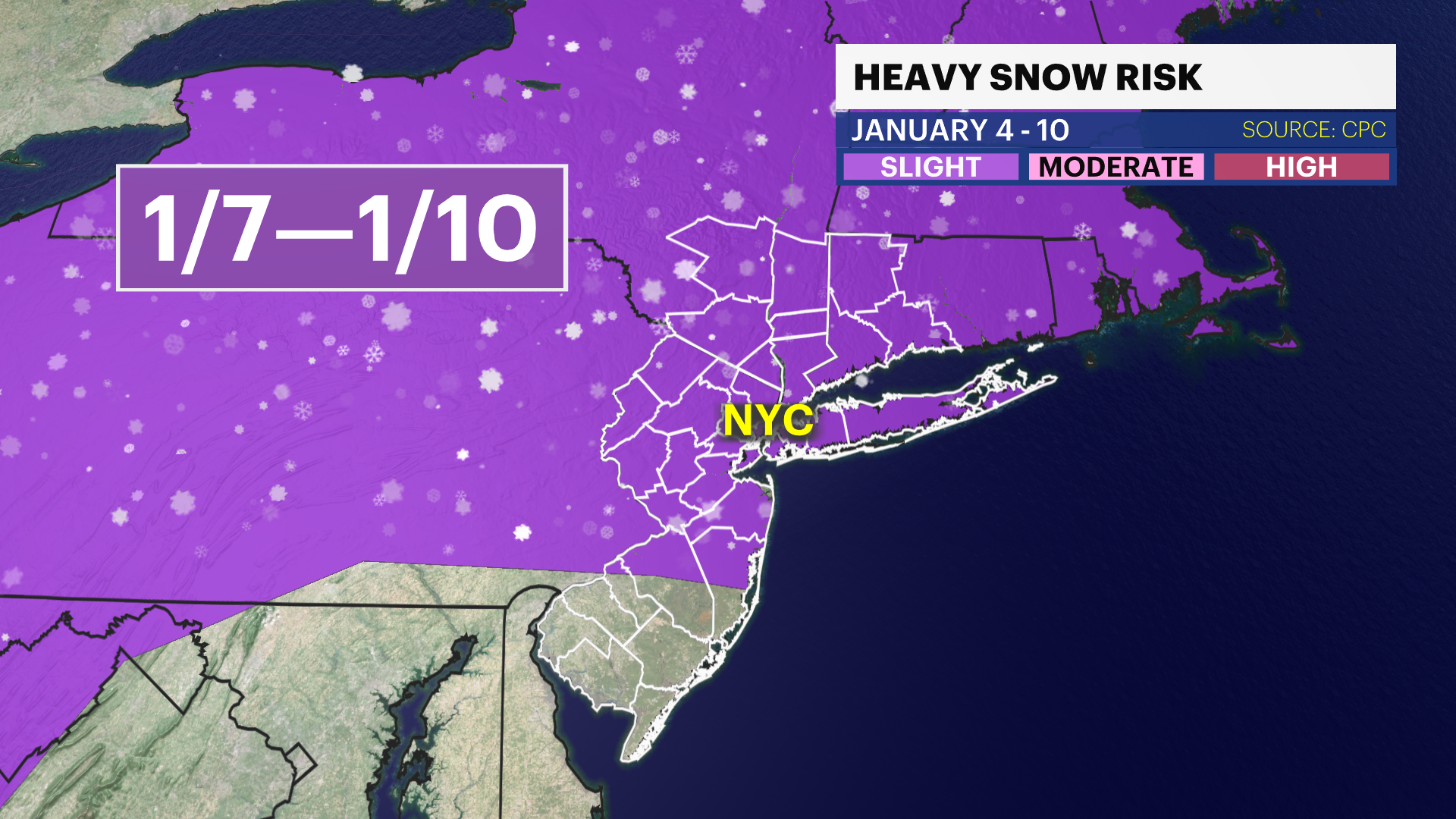
While history does not necessarily repeat itself, it often imitates. If the Boxing Day Blizzard pattern and our upcoming pattern are very similar, expect an increased chance of a significant snowstorm or two after Jan. 3 through about mid-month. The Climate Prediction Center (CPC), which is a part of the National Weather Service (NWS), issued a slight risk of heavy snow between Jan. 7 and 10. While it is only a slight risk and not a high risk, any storm opportunity is still nearly two weeks away at the earliest. Also, this slight risk has not been issued in a long time and is noteworthy considering how the last few winters have been snow-starved.
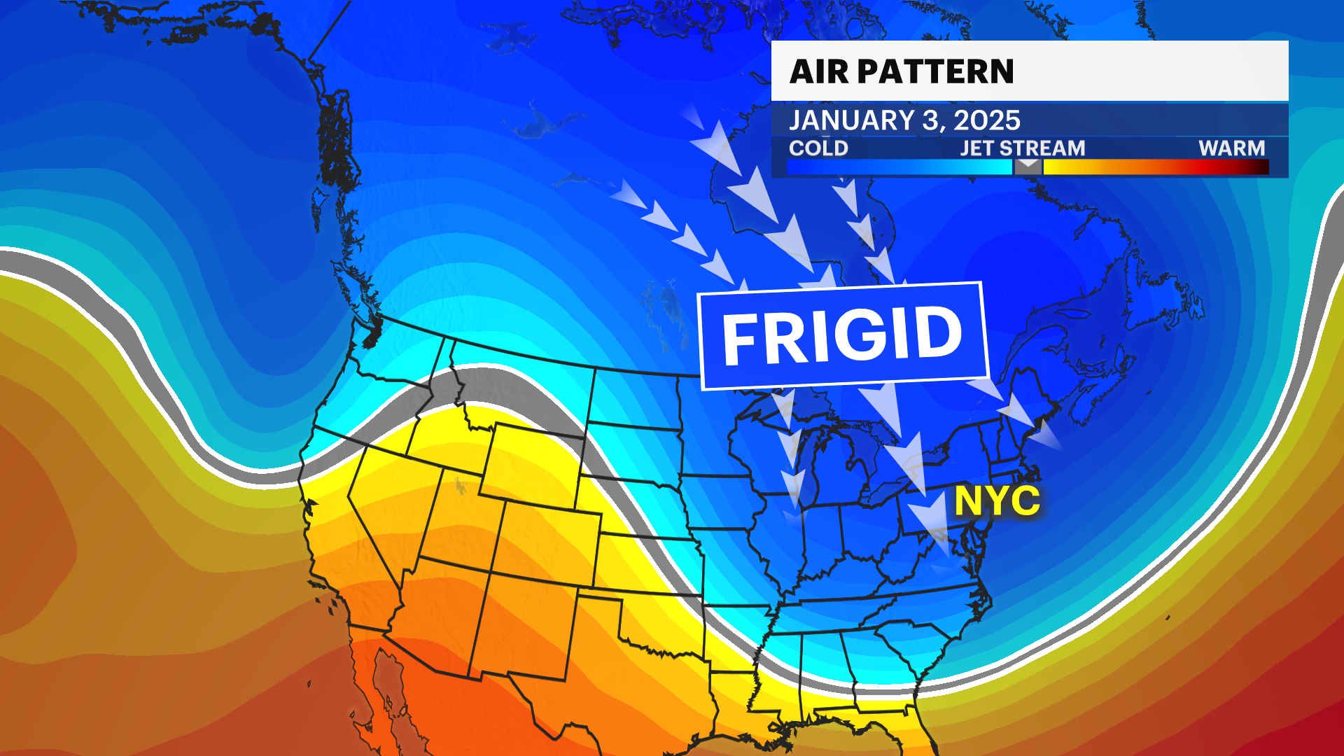
The big takeaway? There is an increasing chance of a significant snowfall in New York City in early to mid-January and it is important to check back with the News 12 Storm Watch Team for accurate hyperlocal weather forecasts, especially when it matters the most. Follow Allan Nosoff on social media for personal and up-to-date snow updates all winter long.
