Warm and sunny stretch ahead for The Bronx into next week
Pleasant weather continues through the weekend before temperatures climb into the 80s by Sunday with only limited rain chances.
More Stories
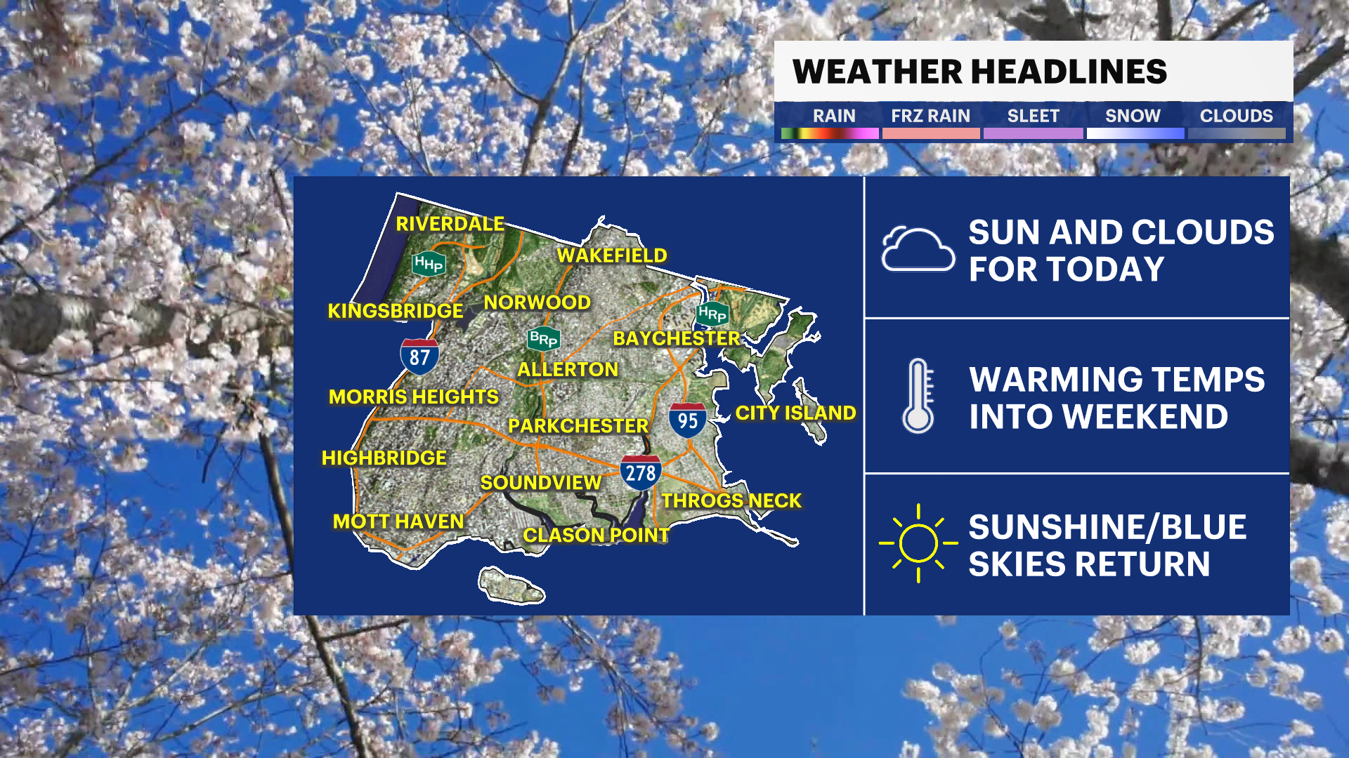
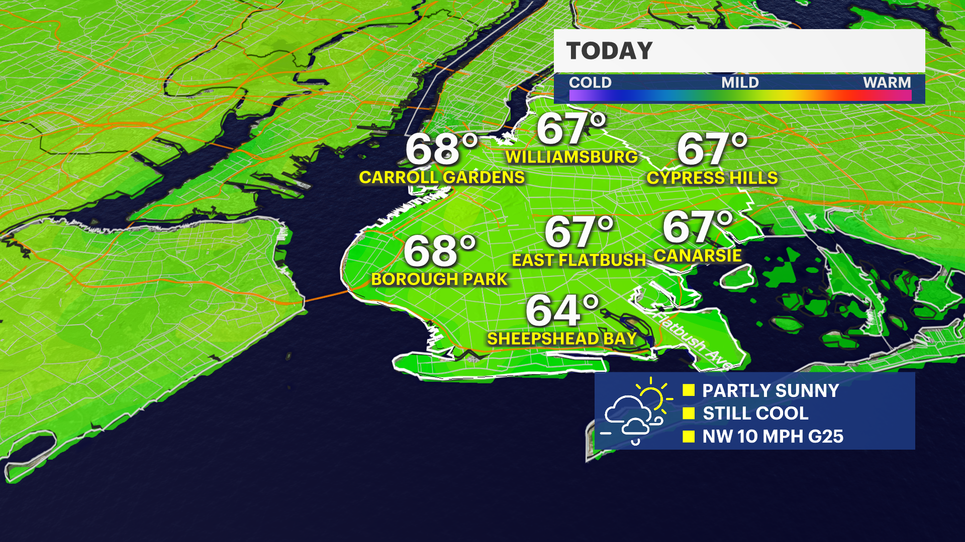
A comfortable and quiet stretch of weather settles in heading into the weekend. Today features a mix of sun and clouds with a light breeze, while temperatures stay seasonable and pleasant.
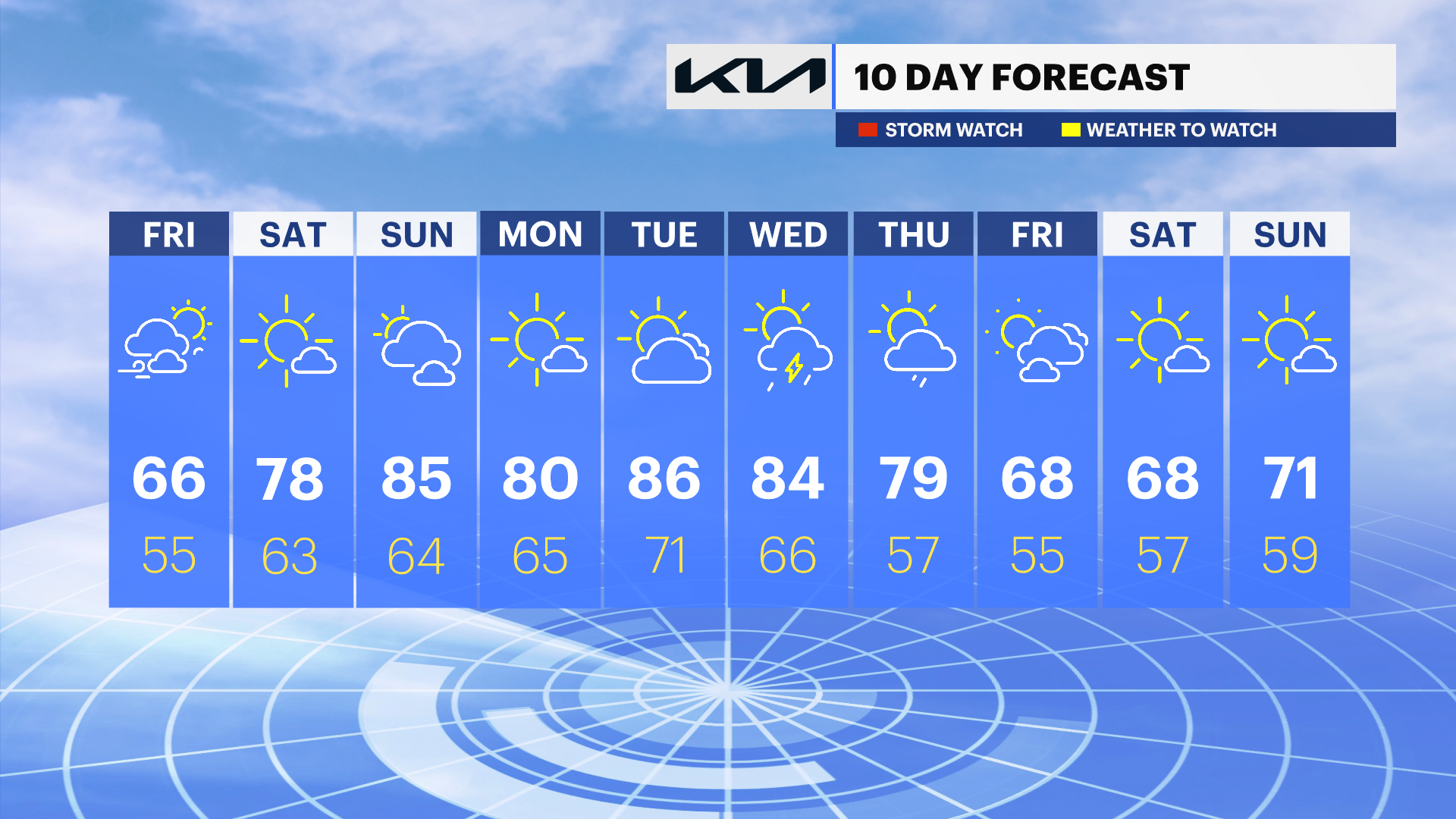
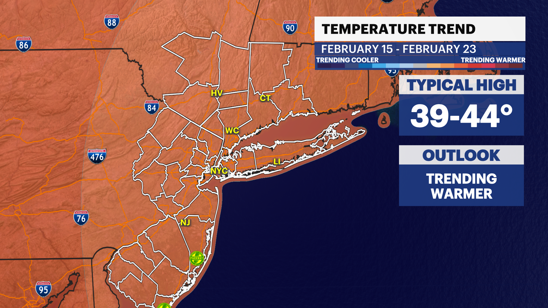
The warm-up continues through the weekend and into next week. Sunshine dominates most days, with highs climbing from the 70s this weekend into the 80s by Tuesday and Wednesday. Humidity also begins to increase, and by the middle of next week, a few scattered shower chances return.
Today: Partly sunny and pleasant. Highs in the mid-60s.
Saturday: Sunny and warmer. Highs in the upper 70s.
Sunday: Mostly sunny and warm. Highs in the low to mid-80s.
Monday: Sunny and comfortable. Highs in the upper 70s to around 80.
Tuesday: Sunny and very warm. Highs in the low to mid-80s.
Wednesday: Mostly sunny with a chance of showers and thunderstorms. Highs in the low to mid-80s.
Thursday: Partly sunny with a slight chance of showers. Highs in the mid to upper 70s.
