Drying out with cool temperatures in The Bronx today
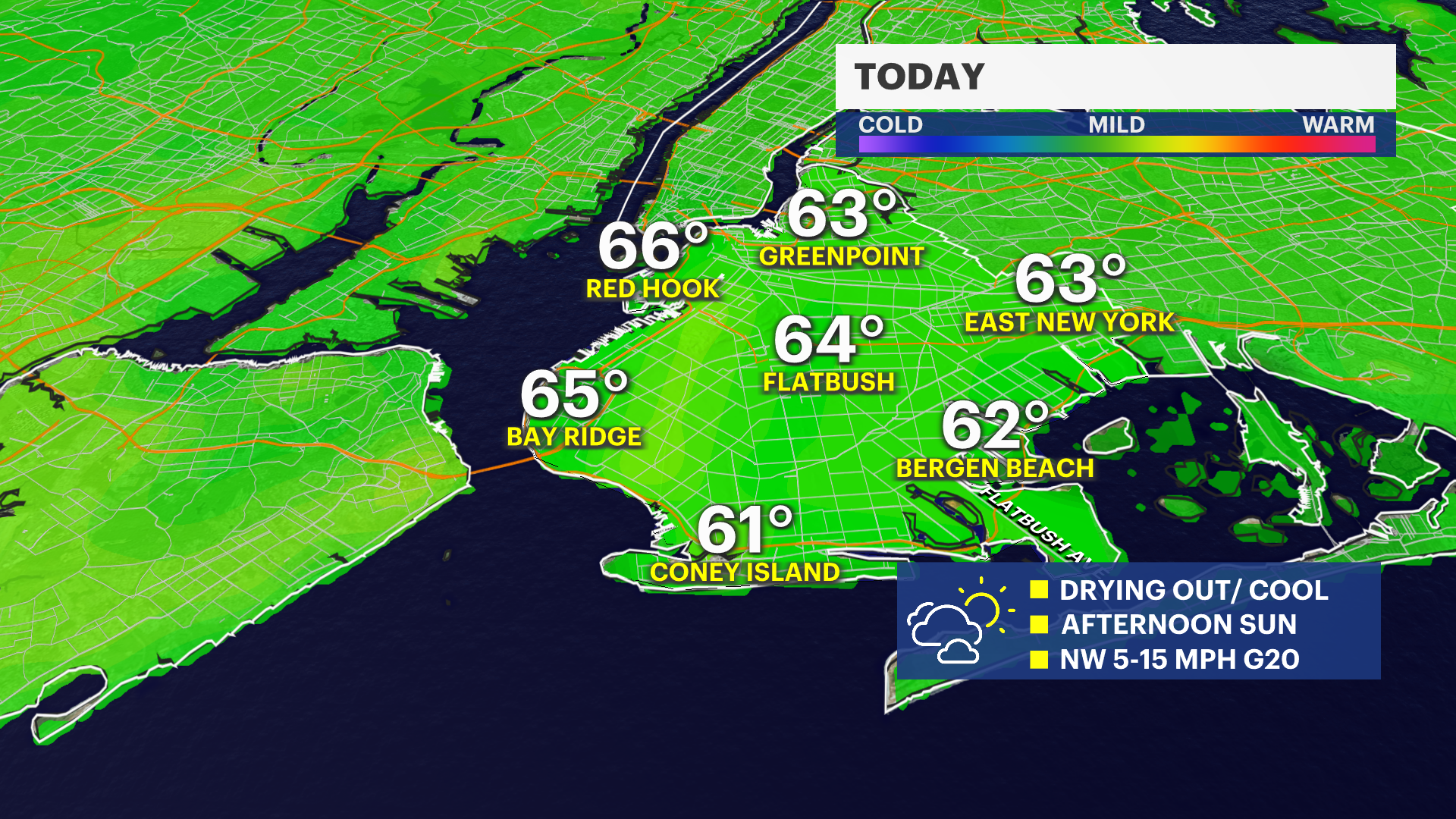
Clouds give way to sunshine today with highs in the mid 60s.
More Stories
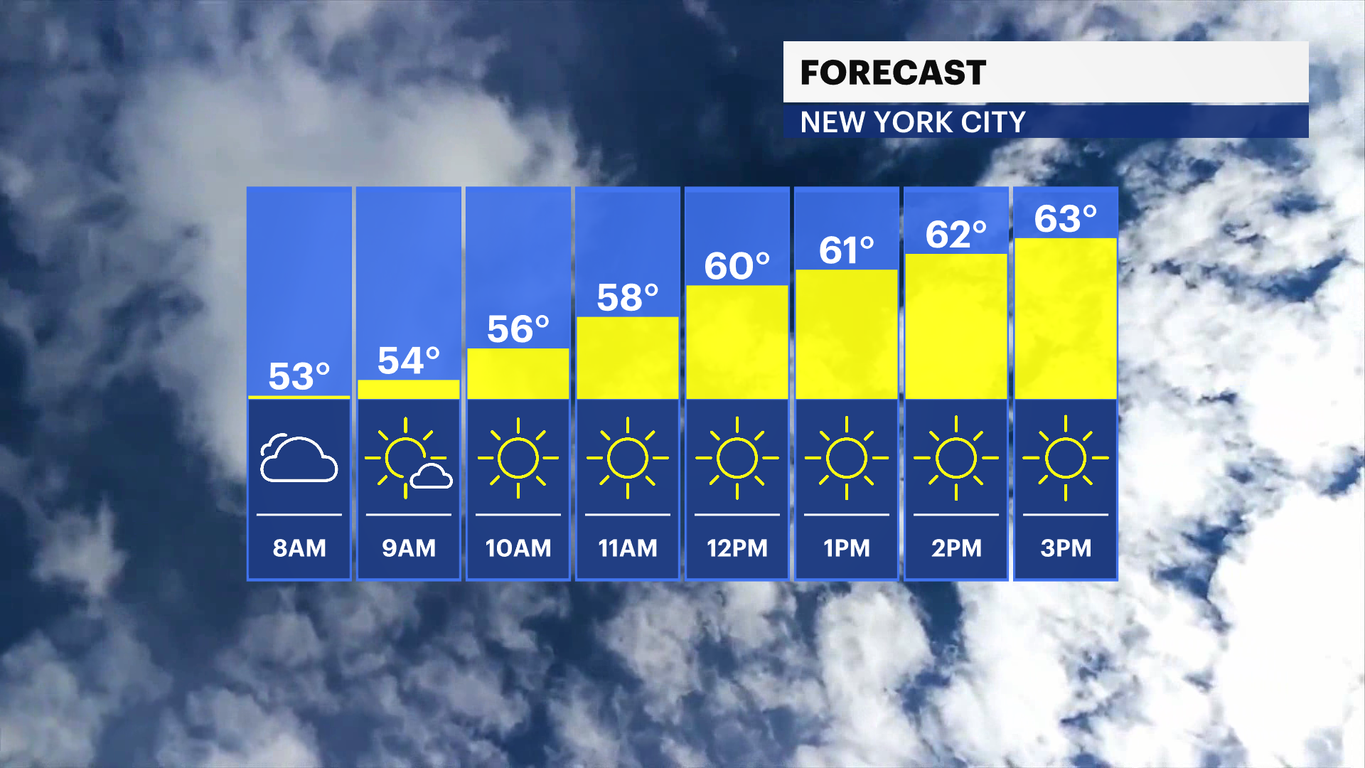
Today will be unseasonably cool with highs in the mid 60s but plenty of afternoon sunshine. An isolated shower is possible after midnight, but there’s a better chance north and west of the city.
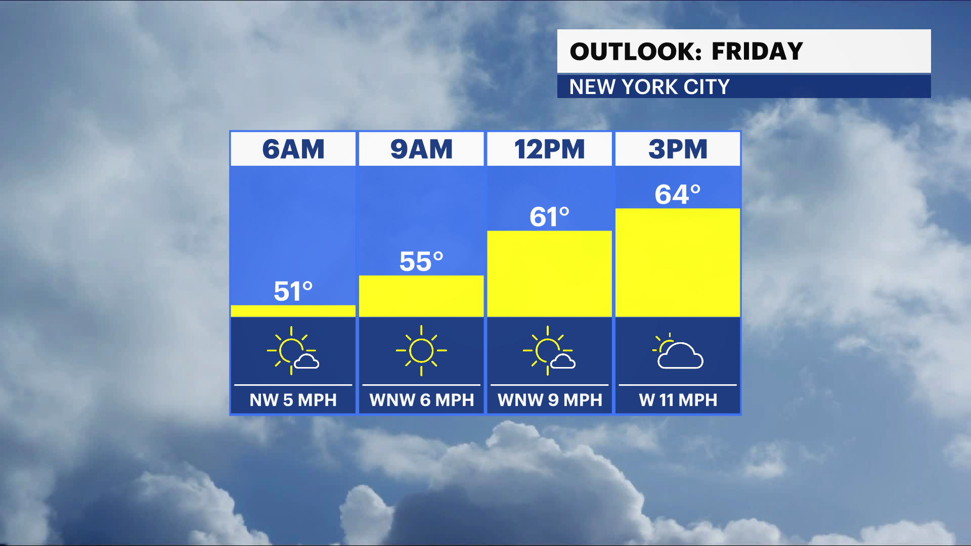
Temperatures remain unseasonably cool on Friday with a cool breeze and mix of sun and clouds. A spot shower possible Friday evening. Clouds increase Friday night ahead of rain on Saturday.
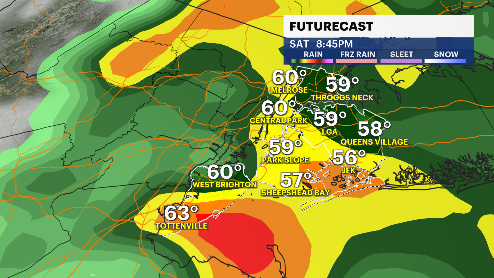
Another storm system will bring showers on Saturday with cool temperatures in the low 60s. Showers will likely move out during evening. Close to half an inch of rainfall expected. Mother's Day will be mostly sunny and milder with highs in the low to mid 70s. Another fast moving storm system will bring a chance of showers late Sunday night into Monday. Stay tuned for updates!
