Clouds build ahead of wind and rain in The Bronx
Showers and storms arrive to the borough late Wednesday.
More Stories
Rain and wind arrive to the borough by Wednesday night. Wind-driven rain will join us late Wednesday and into Thursday, as could some thunderstorms. This begins a brief unsettled stretch from Wednesday to Friday.
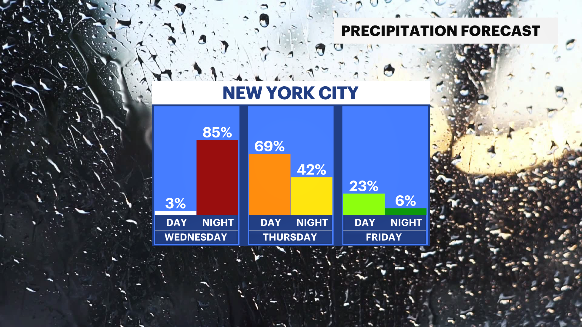
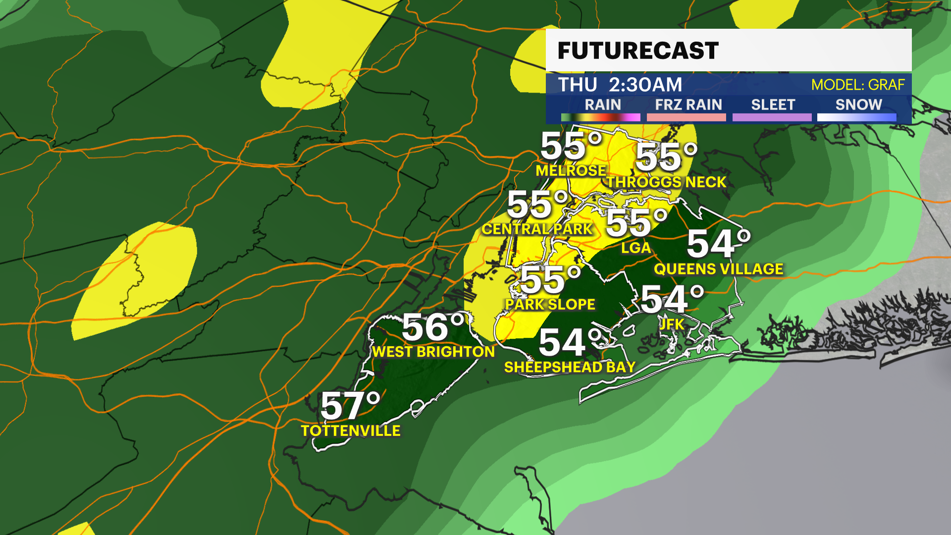
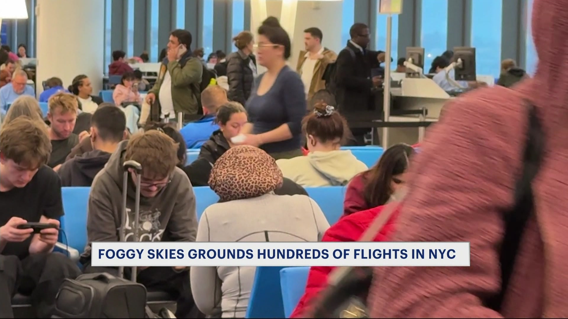
With the current drought conditions the rain is welcome but the wind could gust between 30-40 mph on Wednesday. There could also be fog lowering visibility and adding a spooky quality to the rain.
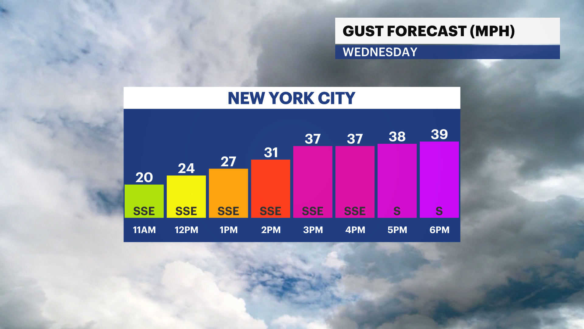
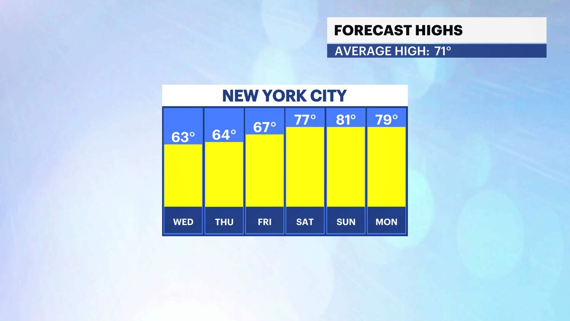
Most of Wednesday will be dry ahead of late p.m. rain and wind. Temperatures remain in the 60s through the rest of the work and school week then we have a major warm up with the return of sizzling summer temperatures for the weekend!
