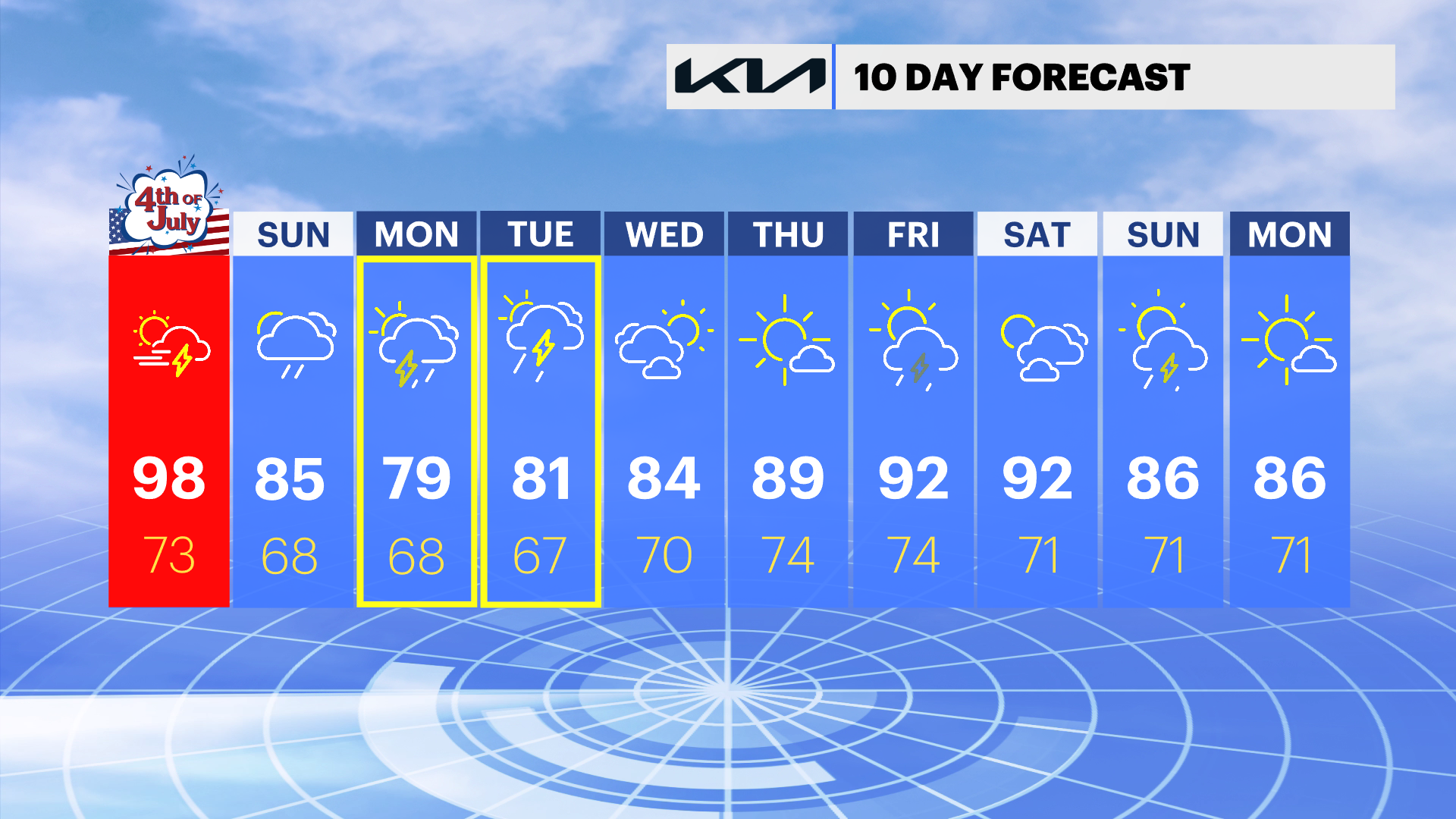
July 4th Forecast: Extreme heat brings evening storms tonight
We're tracking a few strong storms later tonight. Here's the timing on the rain risk and an update on how hot temperatures will be.
More Stories
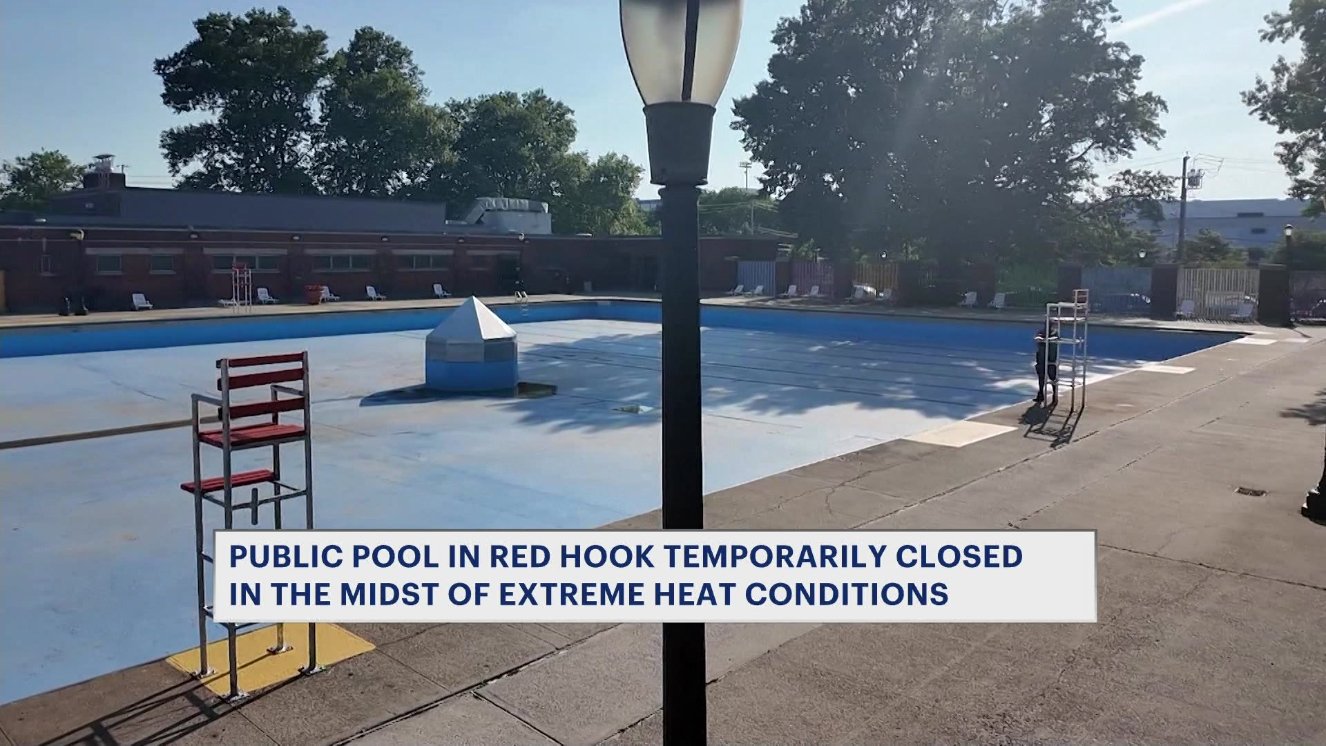
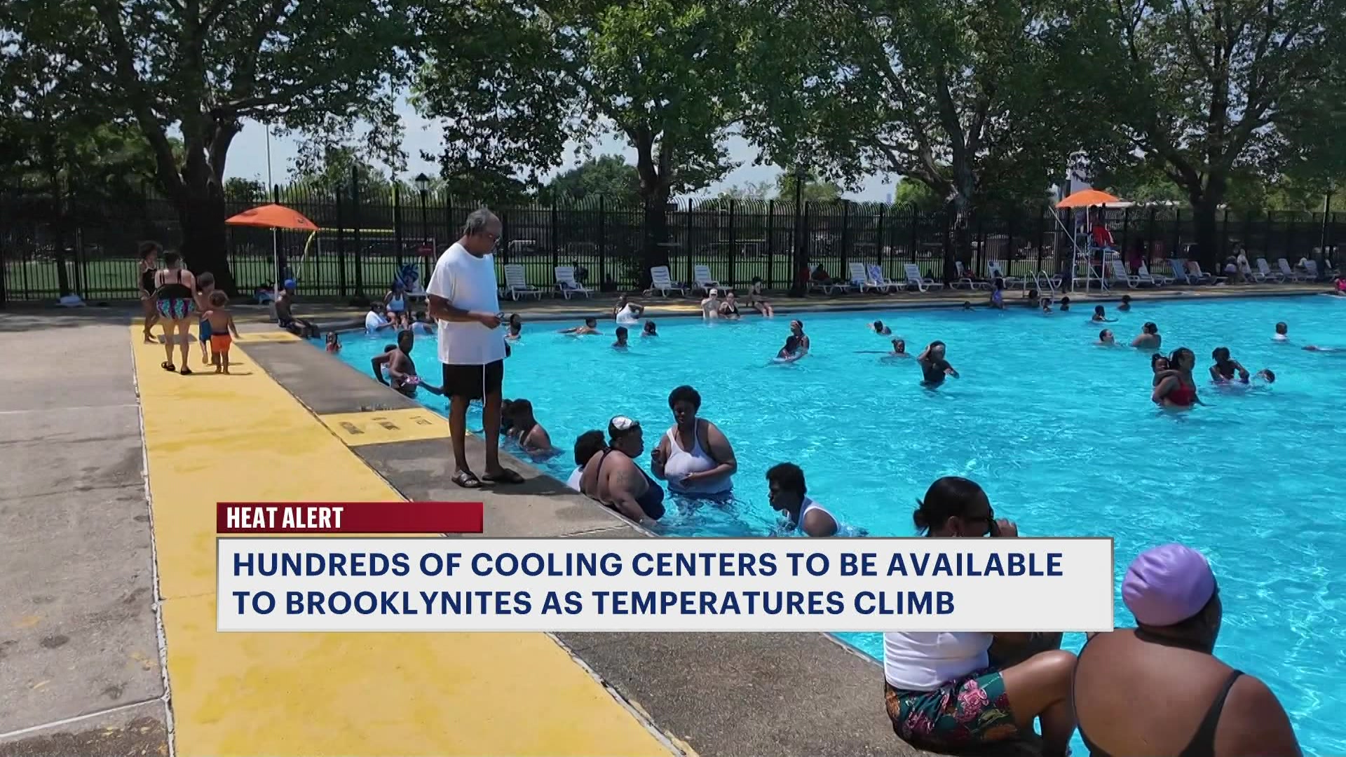

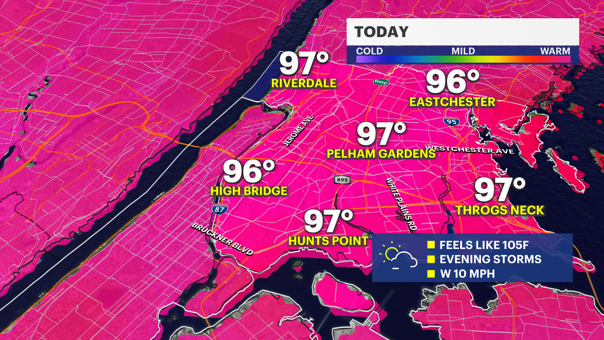
An Extreme Heat Warning remains in effect until this evening. Near record high temperatures are expected with temperatures that feel between 100 and 110 degrees.
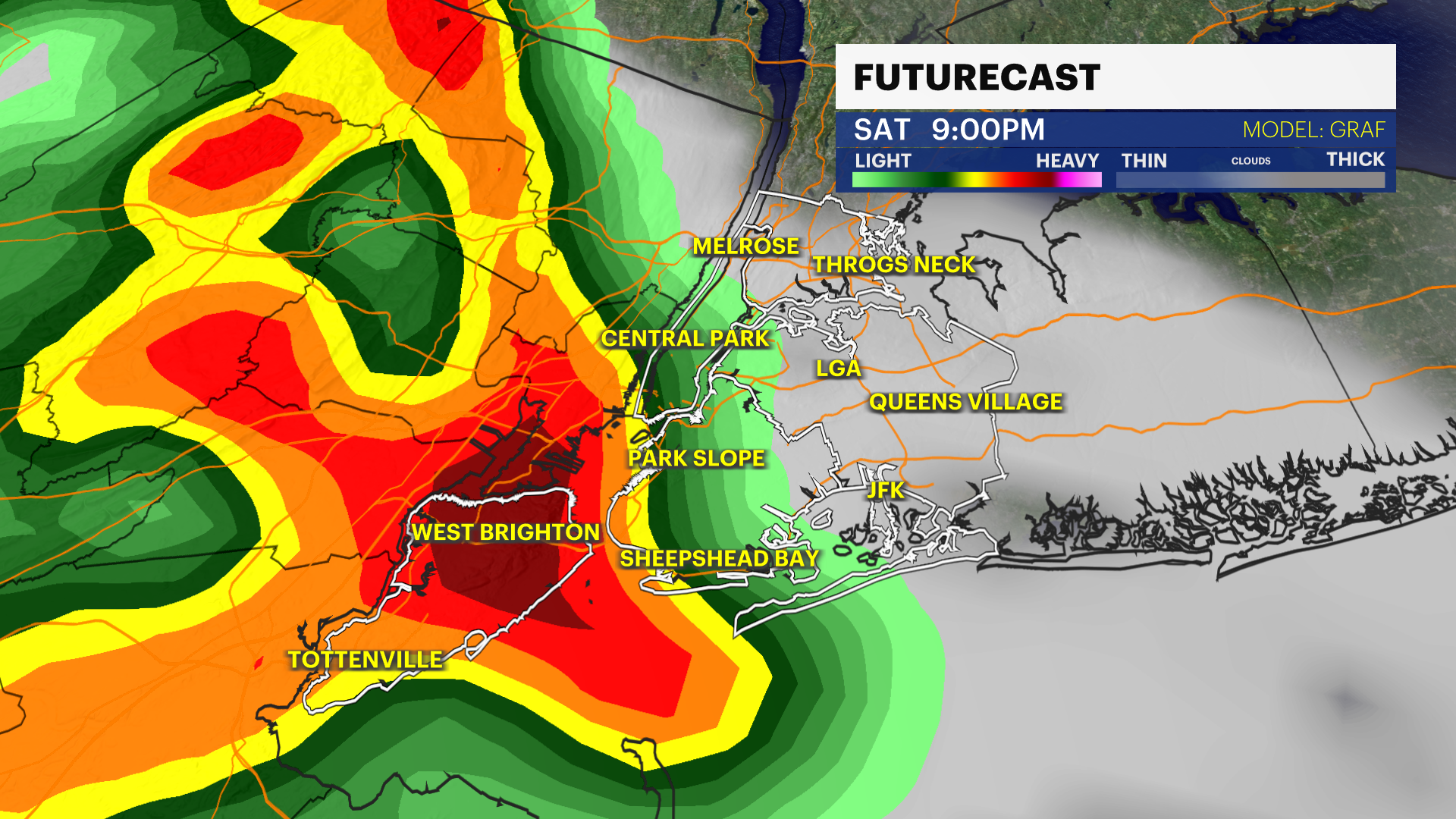
Today will be the last day of our heat wave, but the break from the heat will come with a risk for a spotty strong storm this evening and the potential for flooding from rain early next week.
Independence Day: Hot & Sunny start then storms
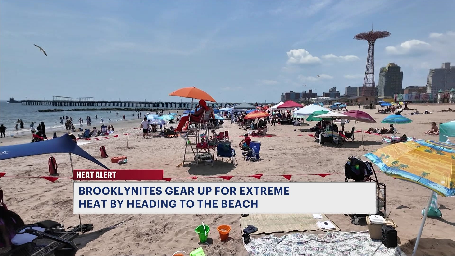
Temperatures are in the mid to upper 90s with hazy sunshine and high humidity. A pop up storm is possible after 3 p.m, but the greatest risk for rain will arrive after 7 p.m. A few storms will produce damaging wind and frequent lightning. These storms will be spotty in nature but could be damaging so take warnings seriously.
There's a low risk for rip currents on our Atlantic facing beaches and wave heights are generally in the 2-4 ft range. Water temperatures are near 70-degrees. There are no weather related marine hazards this weekend, but be on alert for thunderstorms.
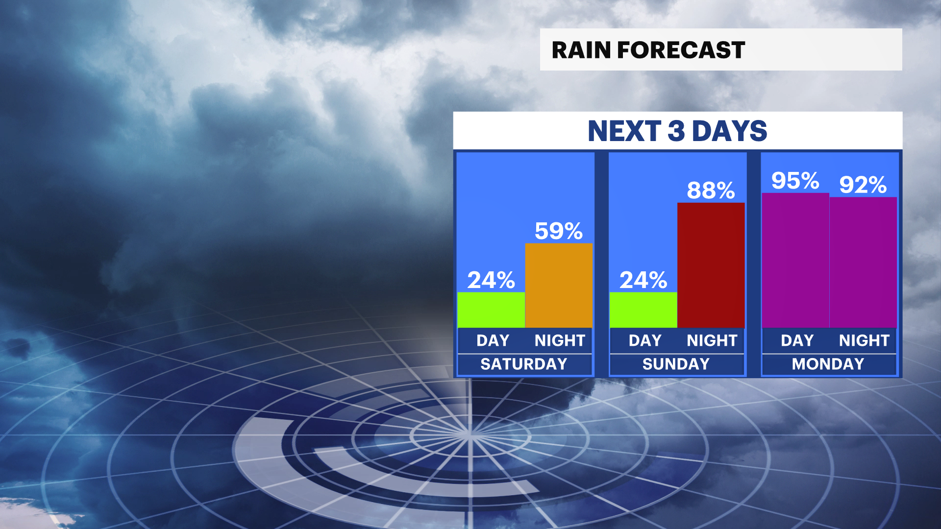
Sunday: More Clouds, less heat
It's a muggy Sunday with stray showers or storms in the afternoon. Otherwise it's mostly cloudy and less hot with temperatures in the 80s, feeling like near 90-degrees.
Monday & Tuesday: Potential for Heavy Rain
Mostly cloudy skies are expected with pockets of heavy rain developing overnight Sunday and potentially Monday evening into Tuesday. There is still some uncertainty about where the heaviest rain will set up, but 2-3" of rain is possible in the worst rain bands. Temperatures will be near 80-degrees.