HEAT ALERT: Temperatures stick around in the 90s on Wednesday in Brooklyn
The Storm Watch Team says it's likely that most of Brooklyn will begin its heat wave Tuesday.
More Stories




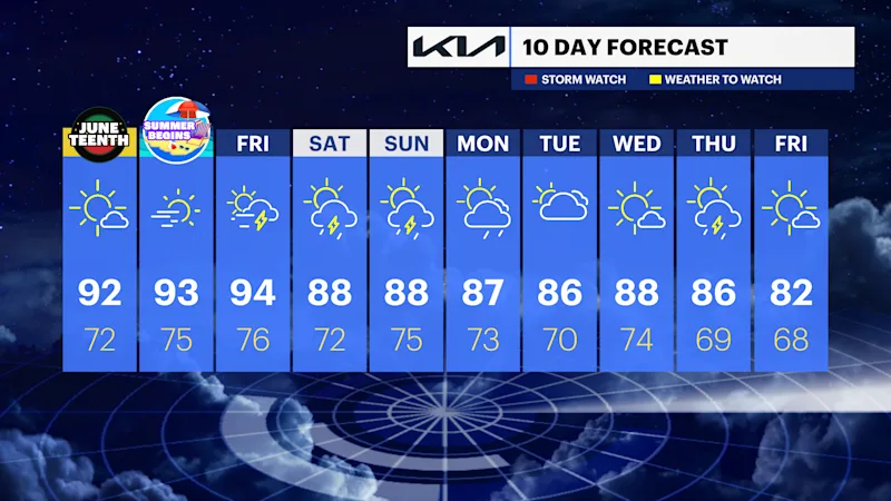
NEXT: It'll be hot, sunny and dry. The dew points (measure of moisture in the air) and temperature will be a bit higher each day between Tuesday and Friday.
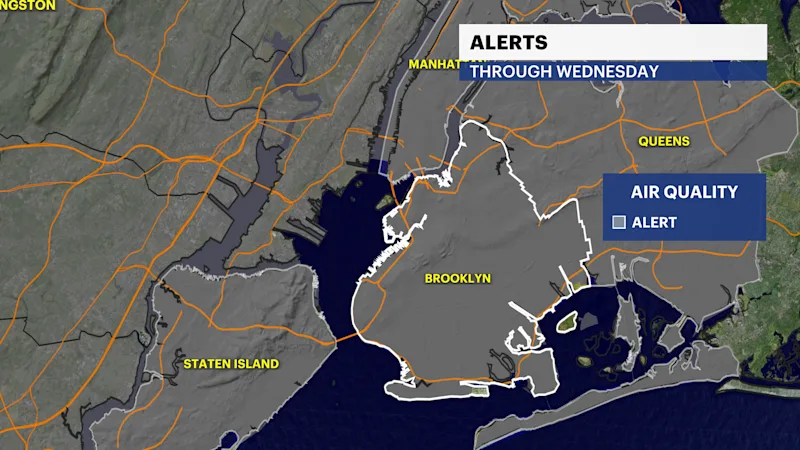
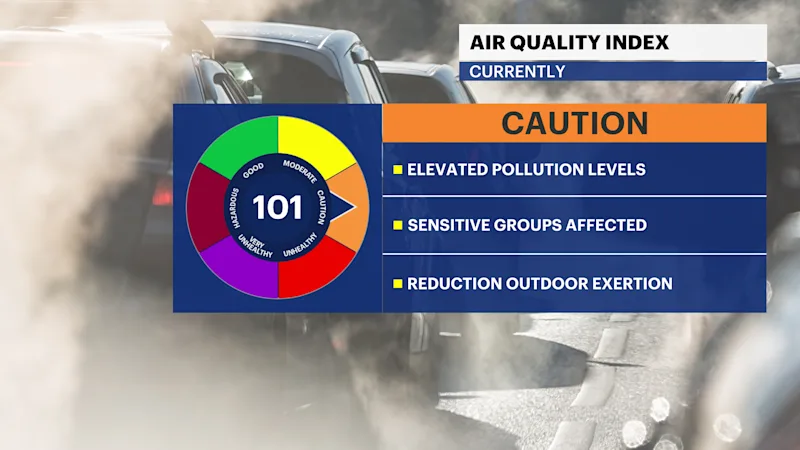
The National Weather Service issued an air quality alert for poor air quality from 11 a.m. - 11 p.m. Tuesday.
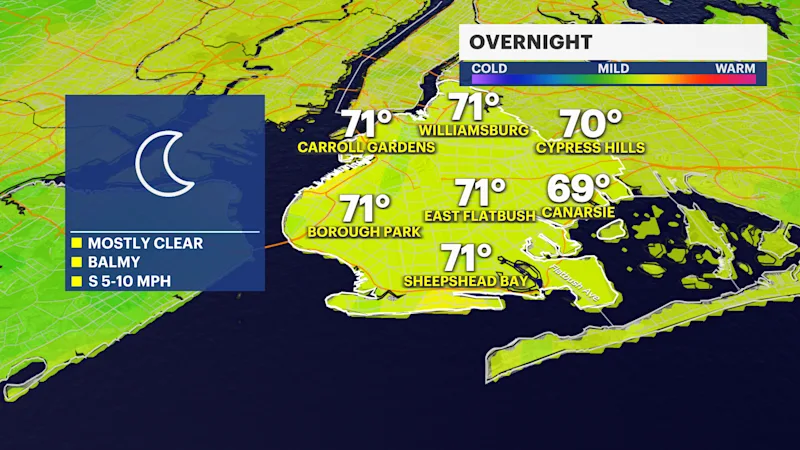
OVERNIGHT: A few clouds still warm. Lows in the low 70s.
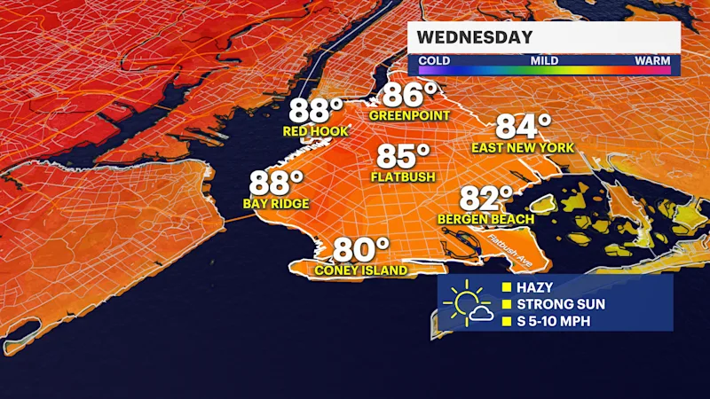
WEDNESDAY: Hot, humid and hazy. Highs in the low 90s. Lows in the low to middle 70s. Feel-like temperatures will be in the low 90s.
THURSDAY SUMMER BEGINS: Hot, humid and hazy. Highs in the low 90s. Lows in the low to middle 70s. Feel-like temperatures will be in the low 90s.
FRIDAY: Hot, humid to start with a chance of showers and a thunderstorm early in the afternoon cooling things down a bit. Highs in the low to middle 90s. Lows in the low 70s.
THE WEEKEND: Not as hot but still humid and very warm. Highs in the middle to upper 80s with spotty shower chances on Saturday morning/early afternoon. Sunday will be more of the same with a lower rain chance.