STORM WATCH: Sunny and mild conditions for NYC; tracking heavy rain for Sunday
Storm Watch Team Meteorologists Kristy Campana says warm weather sticks around through Saturday with temperatures in the mid-50s.
More Stories


STORM WATCH: The News 12 Storm Watch Team is tracking a storm overnight Sunday into Monday that could bring heavy rain and strong winds.

Storm Watch Team Meteorologists Kristy Campana says warm weather sticks around through Saturday with temperatures in the mid-50s.
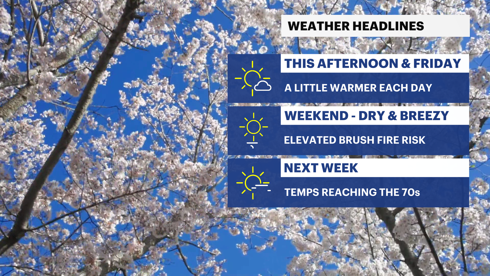
WHAT'S NEW: We are seeing a warmup from earlier this week with temperatures in the mid 50s today, tomorrow and through the weekend! That is paired with plenty of sunshine into tomorrow. Then we see a messy end to the weekend and into early next week.
WHAT'S NEXT: We are tracking a coastal storm that is currently brewing in the Gulf of Mexico and will be making its way up the coast pretty quickly and reaching us sometime Sunday afternoon. It will bring potentially heavy rain for overnight Sunday into Monday. Winds will pick up slightly but wind gusts become a concern very early Monday morning (4am) until the storm passes, otherwise its just generally breezy until then. The coastal storm begins to dissipate Monday afternoon with a break (pocket of dry cold air) and then possible lingering wintry mix shower Tuesday morning. More details to come in the next few days.

Tonight: Clear and cool. Lows near 38.


Saturday: More sunshine and mild temperatures. Highs near 54. Lows near 41.


Sunday: (STORM WATCH) A coastal storm makes its way into the area in the afternoon. The heaviest rain is looking to be overnight into Monday. Rain between 2-3" is expected. Sustained winds stay around 10-15mph (breezy) and gusts periodically can get up to 25mph until very early Monday morning (4am). Highs near 56. Lows near 50.


Monday: (STORM WATCH) The heaviest batch of rain is very early in the morning around 4am. Wind gusts pick up at this time and can reach between 40-50 mph, therefore wind damage and power outages can't be ruled out. Rain continues through about 8am and minor localized flooding could impact the morning commute. Highs near 58. Lows near 37.


Tuesday: After the rain temperatures drop quickly and it is possible to see a wintry mix shower (rain and/or snow) in the AM. Highs near 43. Lows near 29.

Wednesday: Mostly sunny, cool, and breezy. Highs near 42. Lows near 31.

Thursday: (FIRST DAY OF WINTER) Mix of sun and clouds and breezy. Highs near 44. Lows near 33.


