Seasonably cool today in Brooklyn with a late week warmup ahead
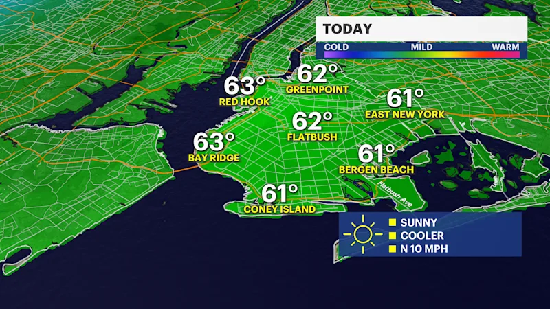
Fall jackets and sweaters are needed today as temperatures struggle to get to near 60 degrees.
More Stories




Bronx Information
FORECAST
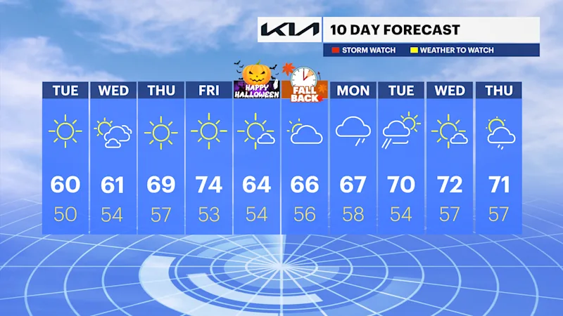
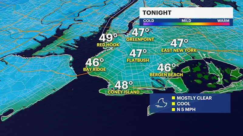
After a marvelously mild Monday, we're falling back into a seasonable chill over the next few days. Today will feel much cooler than yesterday with highs in the upper 50s, near 60 degrees. Tonight, will be chilly under a mostly clear sky. Low temperatures will be in the 40s to near 50 degrees. Areas of patchy frost will develop overnight north and west of the city as temperatures drop to the 30s and 40s across parts of the region.
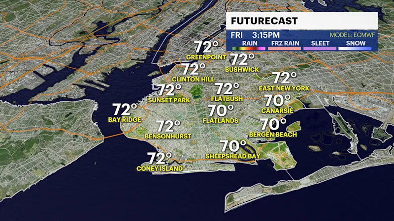
Temperatures remain seasonably cool in the upper 50s to low 60s through tomorrow. A nearby frontal system will bring clouds to the region tomorrow through Thursday. It will stay dry but become noticeably breezy on Thursday and Friday as temperatures surge into the upper 60s and 70s. Friday will be the warmest day this week with highs in the mid 70s.
We close out the month of October with dry, pleasant and slightly cooler temperatures in the mid 60s. Halloween and trick-or-treating is shaping up to be picture perfect! Expect a mix of sun and clouds, lighter winds and daytime highs in the mid 60s, dipping to the upper 40s and mid-50s by nightfall. Perfect opportunity to grab a sweater or light jacket for any nighttime festivities. Don't forget that Daylight Saving Time ends this weekend at 2:00 a.m., so get ready to set those clocks back. On Sunday, sunrise will be at 6:26 a.m. and sunset at 4:52 p.m. Marathon Sunday is currently trending dry with a mix of sun and clouds and highs in the mid to upper 60s.
Our next chance of rain looks to hold off until early next week. Temperatures are still trending warmer than normal into the first week of November. Stay tuned for updates!