STORM WATCH: Remnants of Isaias to bring rain & wind Sunday
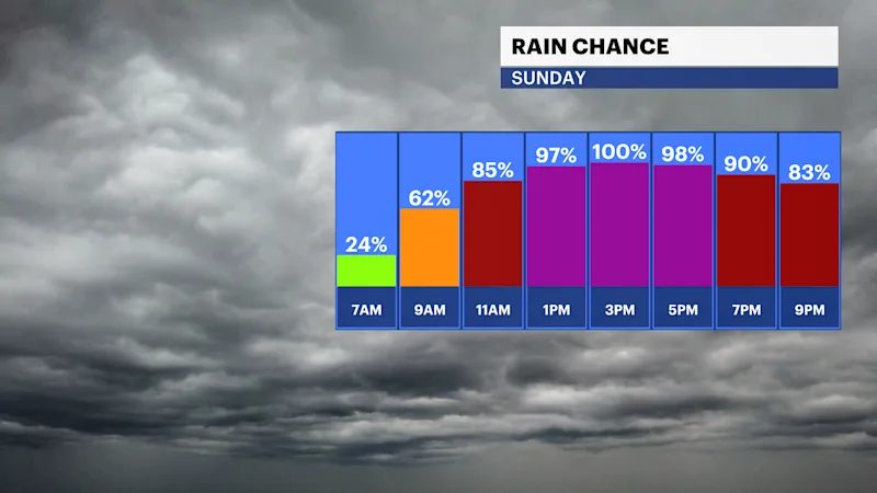
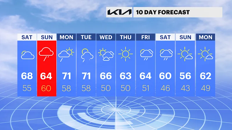
It's a beautiful Saturday, but Sunday will be a mess with rain and wind likely to wash out the afternoon.
More Stories




Brooklyn Information
Brooklyn Information
WHAT TO KNOW
- It's a beautiful Saturday with mostly cloudy skies
- Sunday is a washout in the afternoon
- Monday afternoon looks and feels great!
BEAUTIFUL TODAY
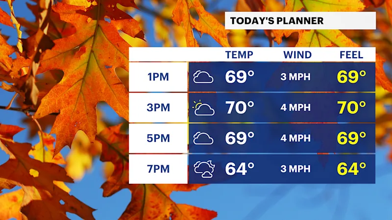
It's a cooler start to the weekend but a nice one with high temperatures in the mid 60s and a mix of sun and clouds. Bring the jacket this evening, temperatures will drop into the 50s after sunset.
ISAIAS REMNANTS ARRIVE SUNDAY
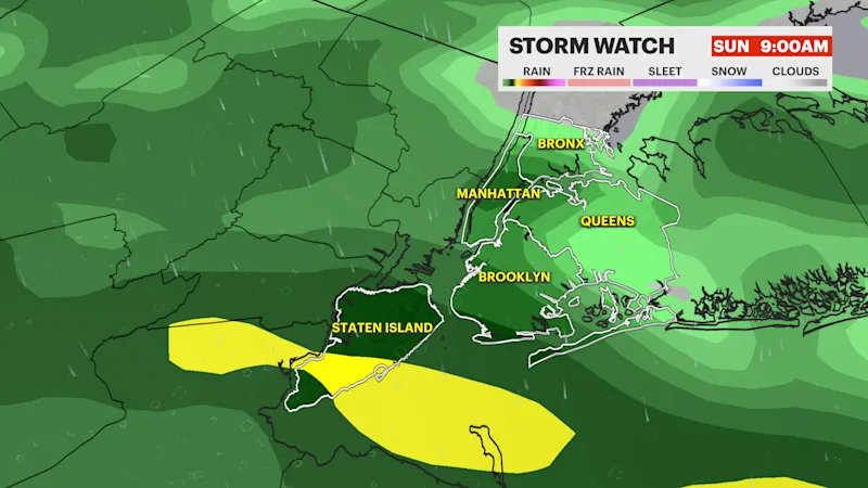
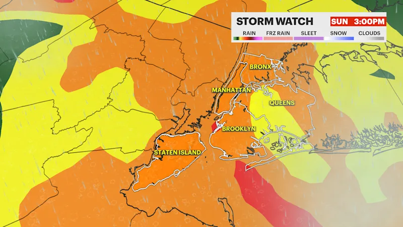
The remnants of Isaias (ees-ah-EE-ahs), will impact outdoor plans Sunday afternoon and evening plans with 1-2" of rain expected and wind gusts occasionally reaching 30 mph. This, along with the new moon phase, will bring minor coastal flooding issues more coastal erosion.
You can see more details on News 12's new tropical weather page here. The News 12 Storm Watch Team will keep you updated on this through the weekend.
IMPROVEMENTS MONDAY
Monday will start with showers and clouds but peeks of sunshine return by lunch and the rest of the day looks and feels good with high temperatures near 70-degrees.
UNCERTAINTY LATE NEXT WEEK
Tuesday is dry in the morning with evening thunderstorms. Temperatures are near 70-degrees. The middle of the week will be dry, but there's low confidence in the forecast next Friday and next weekend. Some of the model guidance pushes very dry cold air into the area while others keep a stubborn storm system overhead which would be a mild but wet outcome.