Sunny and milder today in the Bronx with even warmer weather ahead
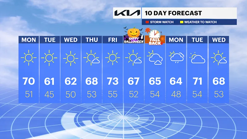
It's another rain-free week with unlimited sunshine and seasonable to above normal temperatures through this weekend.
More Stories



Bronx Information
FORECAST
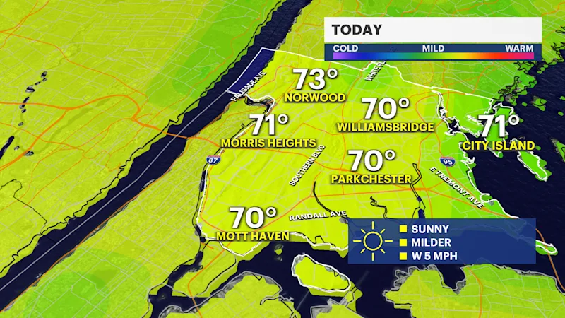
After a chilly start with wake-up temperatures in the 30s and 40s and light westerly winds, temperatures rebound nicely this afternoon to the upper 60s to low 70s. A dry cold front will move through the area tonight into tomorrow, dropping temperatures to near seasonable in the low 60s.
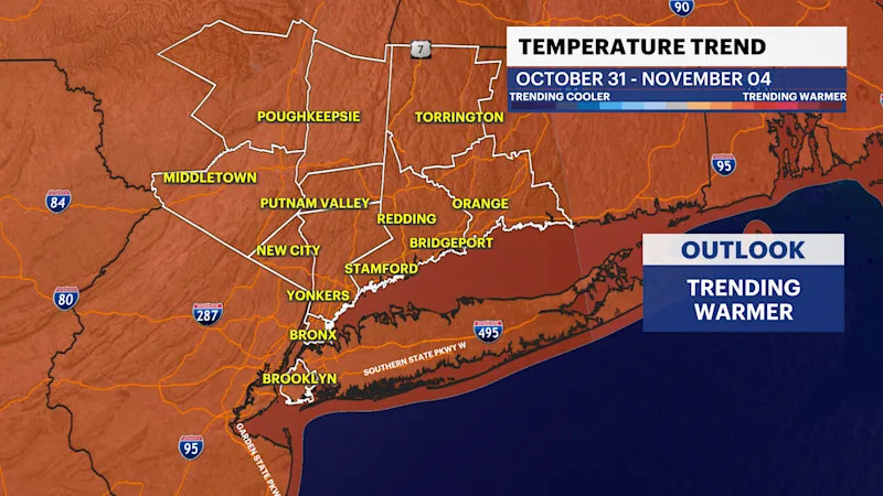
Temperature remain seasonably cool in the upper 50s to low 60s through Wednesday with plenty of sunshine. A nearby storm system will bring a few clouds and breezy conditions on Thursday but keep the region dry. A warming trend arrives Thursday through Saturday with highs in the upper 60s to mid 70s.
Halloween day and trick-o-treating at night will be pleasant with highs in the mid to upper 60s and lows in the upper 40s to mid 50s. Sweaters and light jackets are recommended at night. Daylight Saving Time ends this weekend at 2AM. Sunrise on Sunday will be 6:26AM and sunset is 4:52 P.M. Marathon Sunday is trending dry, despite plenty of cloud coverage. High temperatures will be in the mid 60s. A storm system to the South will bring a chance of rain early next week. Stay tuned for any updates.