Winter Weather Outlook: How will this upcoming winter shape up?
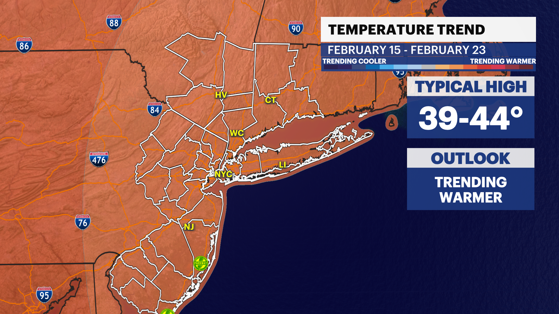
Just like last winter, expect a warm winter overall. Temperatures will run about two degrees above average from December through February.
More Stories
With a weak La Niña in place, and this fall being one of the warmest and driest on-record, how will this upcoming winter shape up?
Just like last winter, expect a warm winter overall. Temperatures will run about two degrees above average from December through February. There will be several arctic cold shots, that will knock the average down slightly, otherwise the winter would have been three to four-plus degrees above average. How will the warmer winter affect snow?
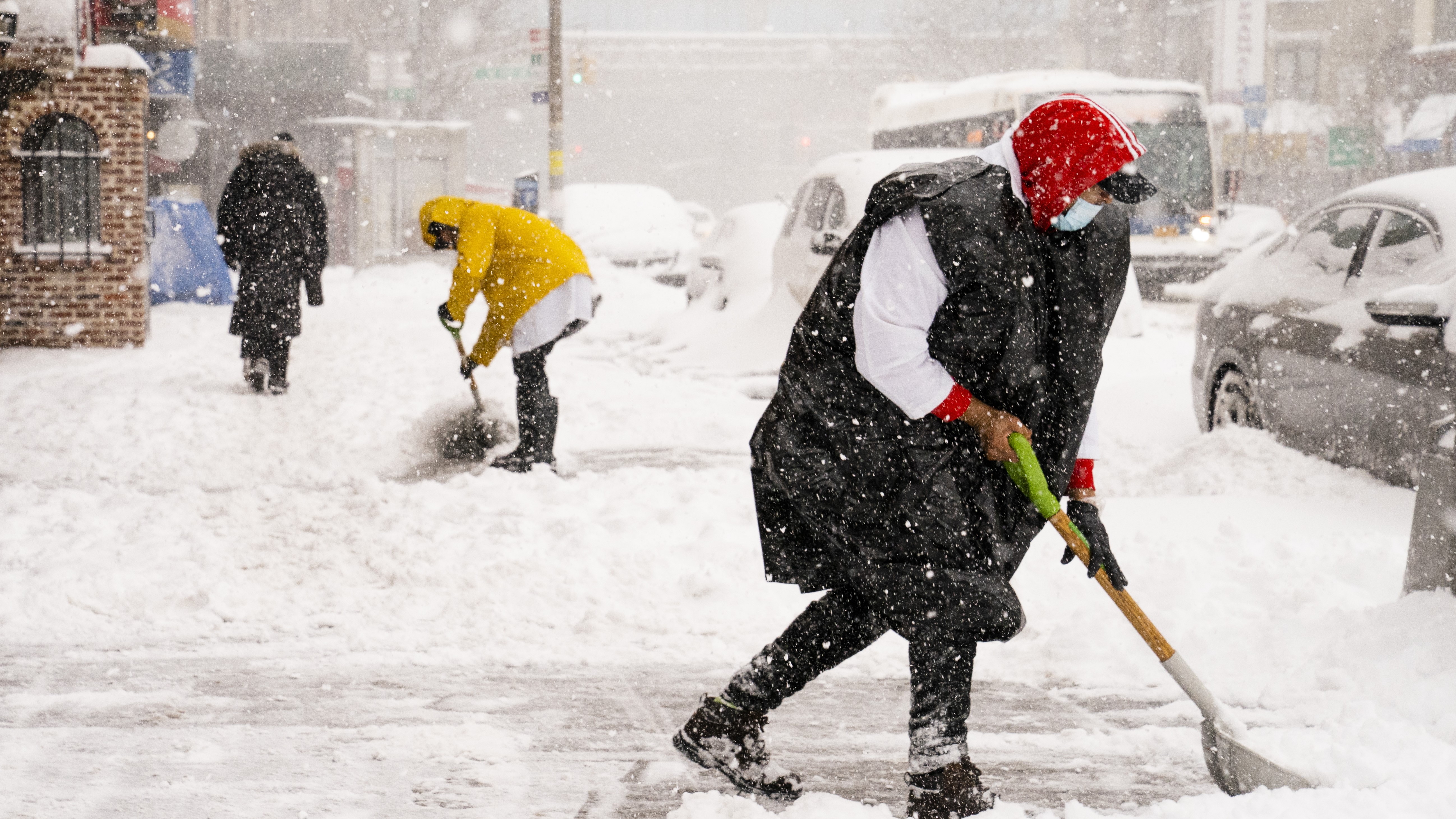
It will be another winter where New York City and the coast likely struggles to see major snowfall. The storm track will likely be close to the coast and cause mixing issues or all-rain storms more often than all-snow.
It will be a much better winter for higher elevations and ski areas like the Poconos and Catskills. It will likely still be below average, but much more snowfall than last winter. The forecast snowfall ramps up quickly, closer to near-normal in Northwest NJ and west of I-87 in the Hudson Valley.
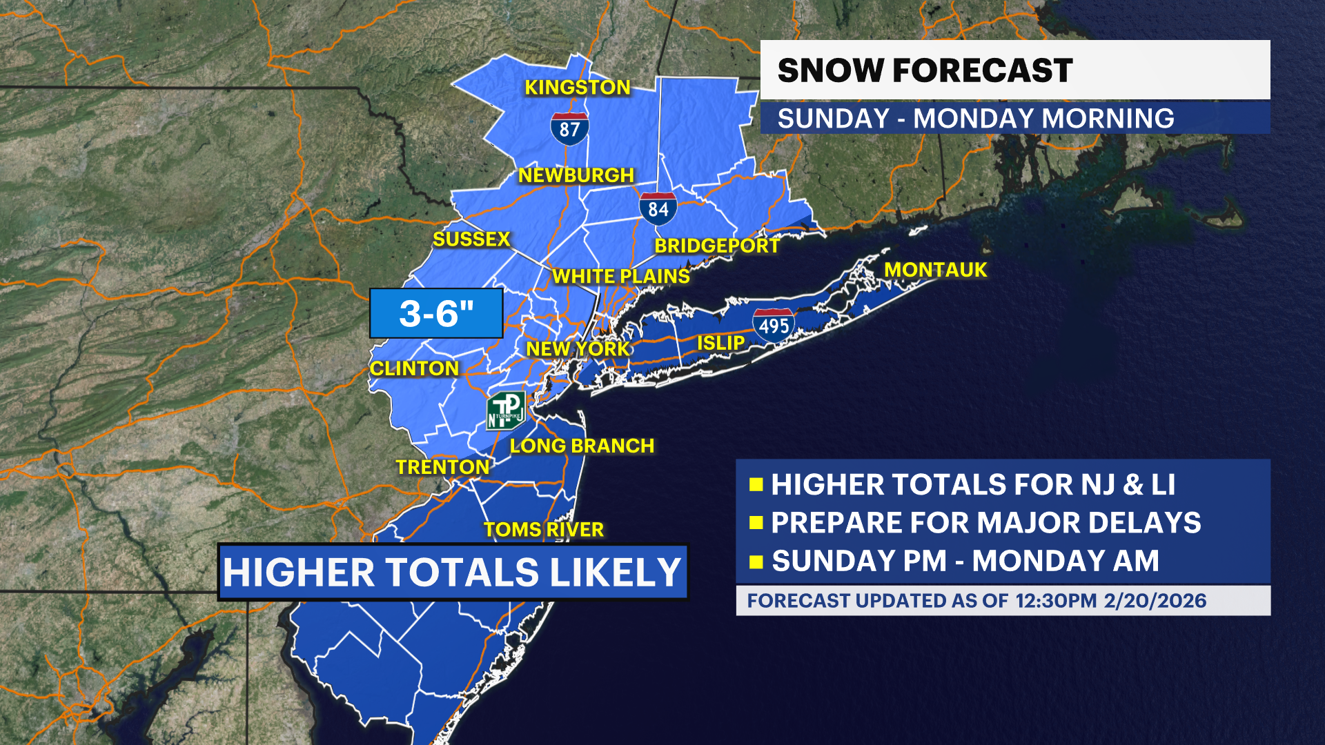
How much snow are we expecting by region? See the snow map in the video, and here are several locations and the season forecast:
New York City: 21" (average 28")
Islip, NY: 14" (average 29")
Westhampton, NY: 11" (average 30")
Bridgeport, CT: 26" (average 29")
White Plains, NY: 27" (average 30")
Newburgh, NY: 35" (average: 43")
Sussex, NJ: 35" (average 36")
Newark, NJ: 23" (average 28")
Toms River, NJ: 12" (average 17")
The analogs do suggest a big boom-or-bust potential. If the cold shots can be perfectly timed with a storm, that will produce a big snowfall that would "boom" the season total. If the cold is not timed with a storm at any point this winter, the forecast will "bust" low. Analogs also suggest that this will be an earlier winter with most cold shots in December and January. January will likely be the snowiest month this winter. Usually February is the snowiest, but expect snow chances to taper off quicker than usual.
It is important to stay tuned to our Storm Watch Team forecasts for the latest hyperlocal winter weather updates. Our News 12 app, as well as news12.com will also have up-to-the-minute information on the forecast, school closings, and other important winter storm updates. Any questions? Feel free to follow and message me on social media, @AWxNYC.
